TextMalecón San Cristóbal
A picturesque coastal promenade that blends nature and urban life. Famous for its close encounters with sea lions, restaurants, craft shops, and scenic ocean views, it is an essential gathering point in Galápagos.
Explore the San Cristóbal waterfront (Malecón) in 360°: docks, inter-island boats, artisanal fishing, sea lions and native plants of Galápagos. 23 scenes.
This page presents all the content of the 360° tour as text, images and links, for use with a screen reader or keyboard.
23 scenes · 62 points of interest
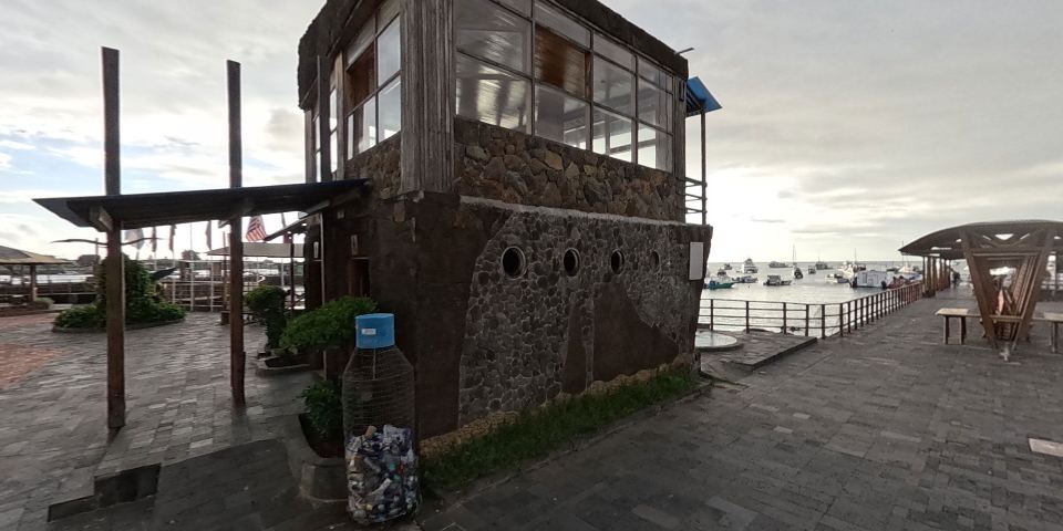
A picturesque coastal promenade that blends nature and urban life. Famous for its close encounters with sea lions, restaurants, craft shops, and scenic ocean views, it is an essential gathering point in Galápagos.
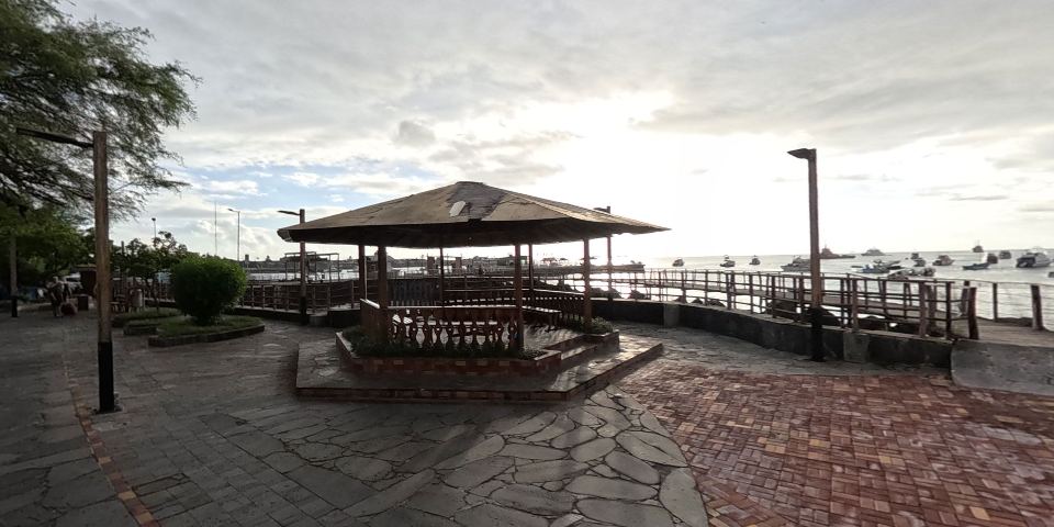
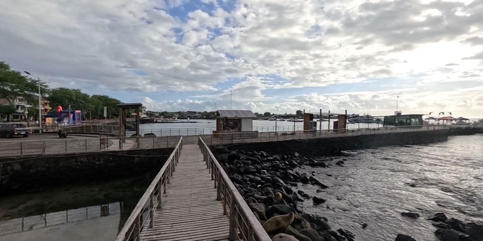
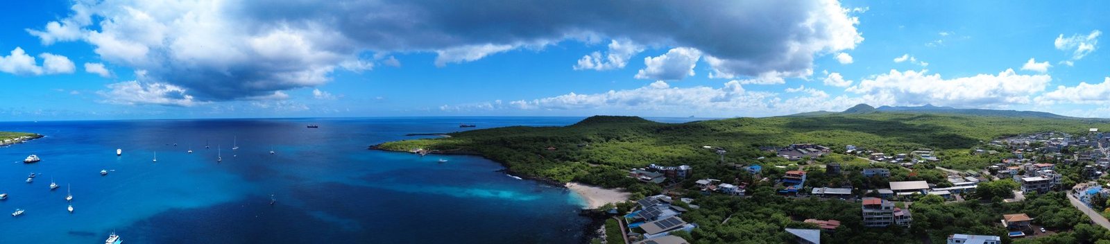
The Puerto Baquerizo Moreno boardwalk in San Cristóbal is a vibrant coastal promenade full of life, famous for its friendly sea lions, cafes, shops and unforgettable sunsets over the sea.
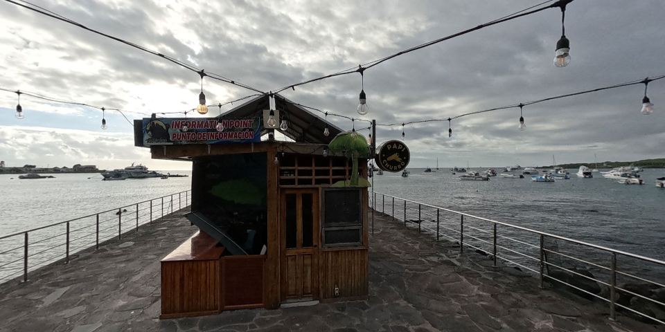
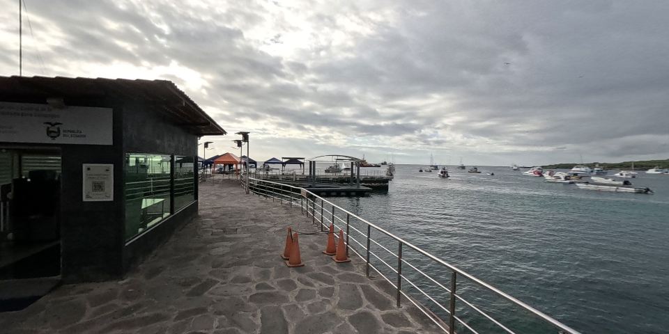
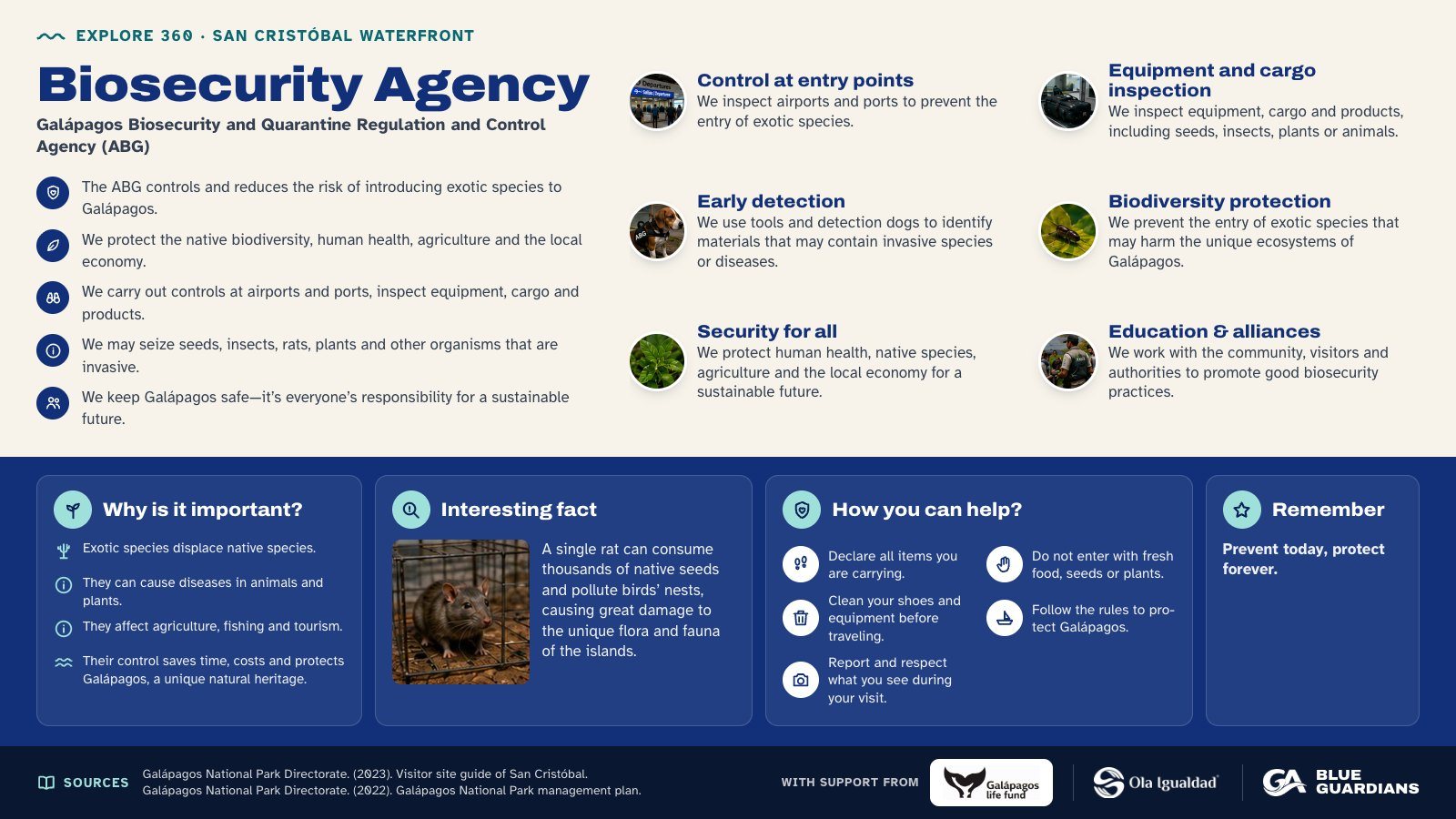
Infographic about Biosecurity Agency: control at entry points, equipment and cargo inspection, early detection, biodiversity protection, security for all and education & alliances. Also covers: why is it important, interesting fact, how you can help and remember.
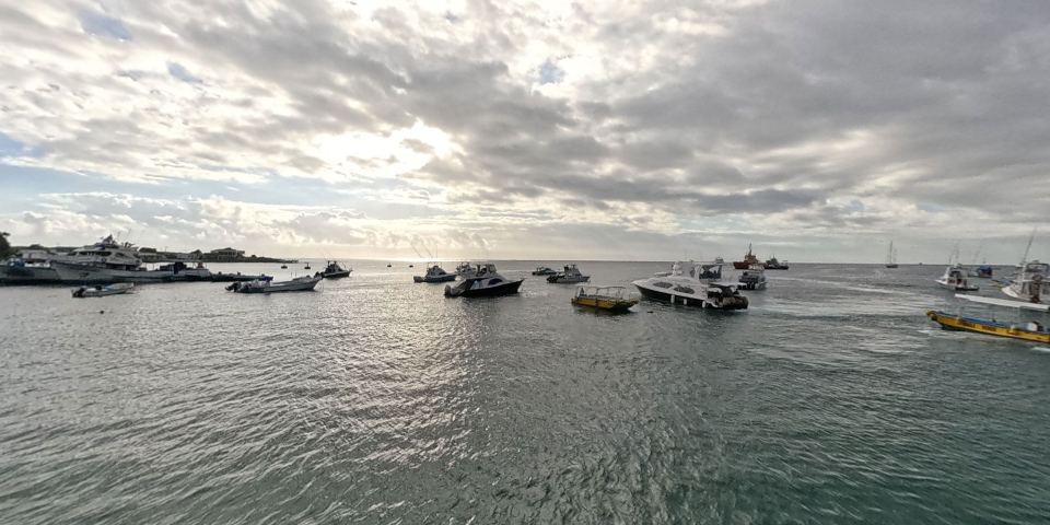
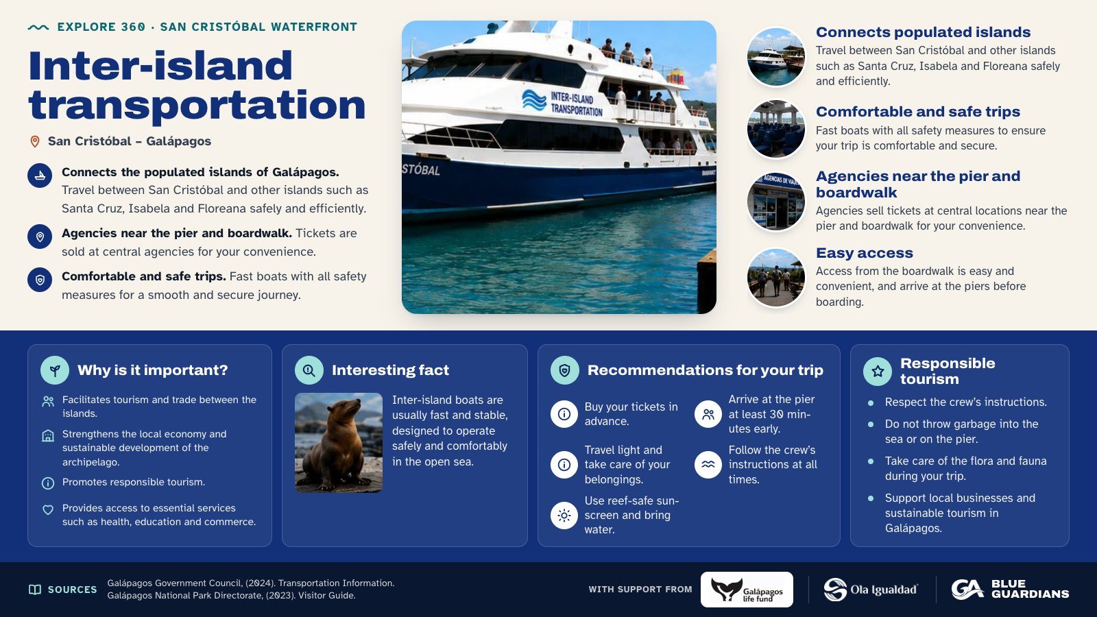
Infographic about Inter-island transportation: connects populated islands, comfortable and safe trips, agencies near the pier and boardwalk and easy access. Also covers: why is it important, interesting fact, recommendations for your trip and responsible tourism.
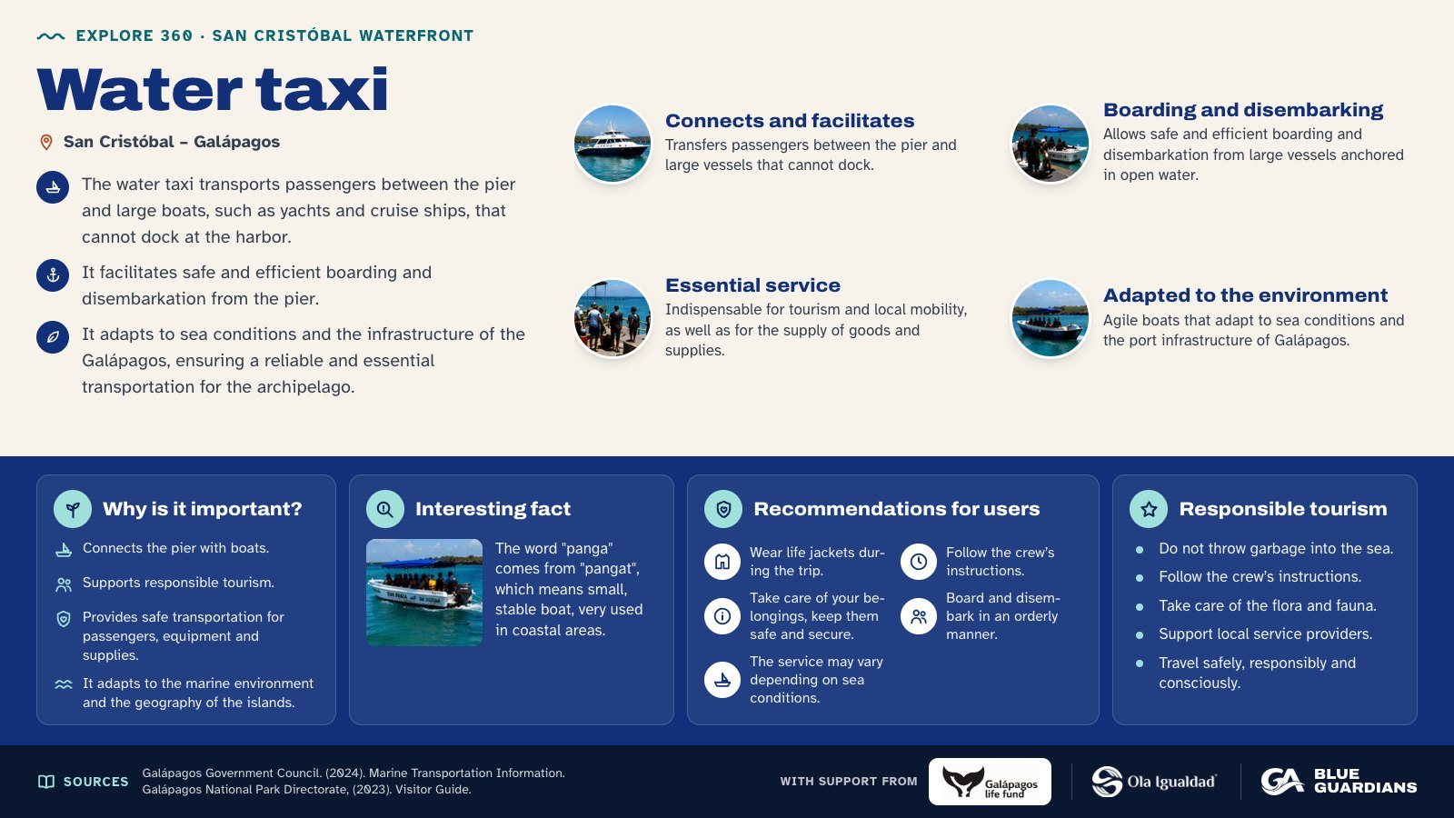
Infographic about Water taxi: connects and facilitates, boarding and disembarking, essential service and adapted to the environment. Also covers: why is it important, interesting fact, recommendations for users and responsible tourism.
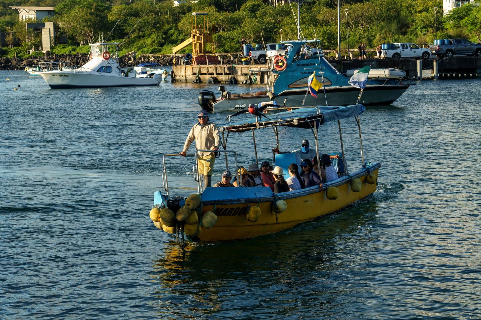
A taxi panga is a small boat used to transfer passengers between the dock and larger vessels, such as inter-island launches, cruise ships, or cargo boats.
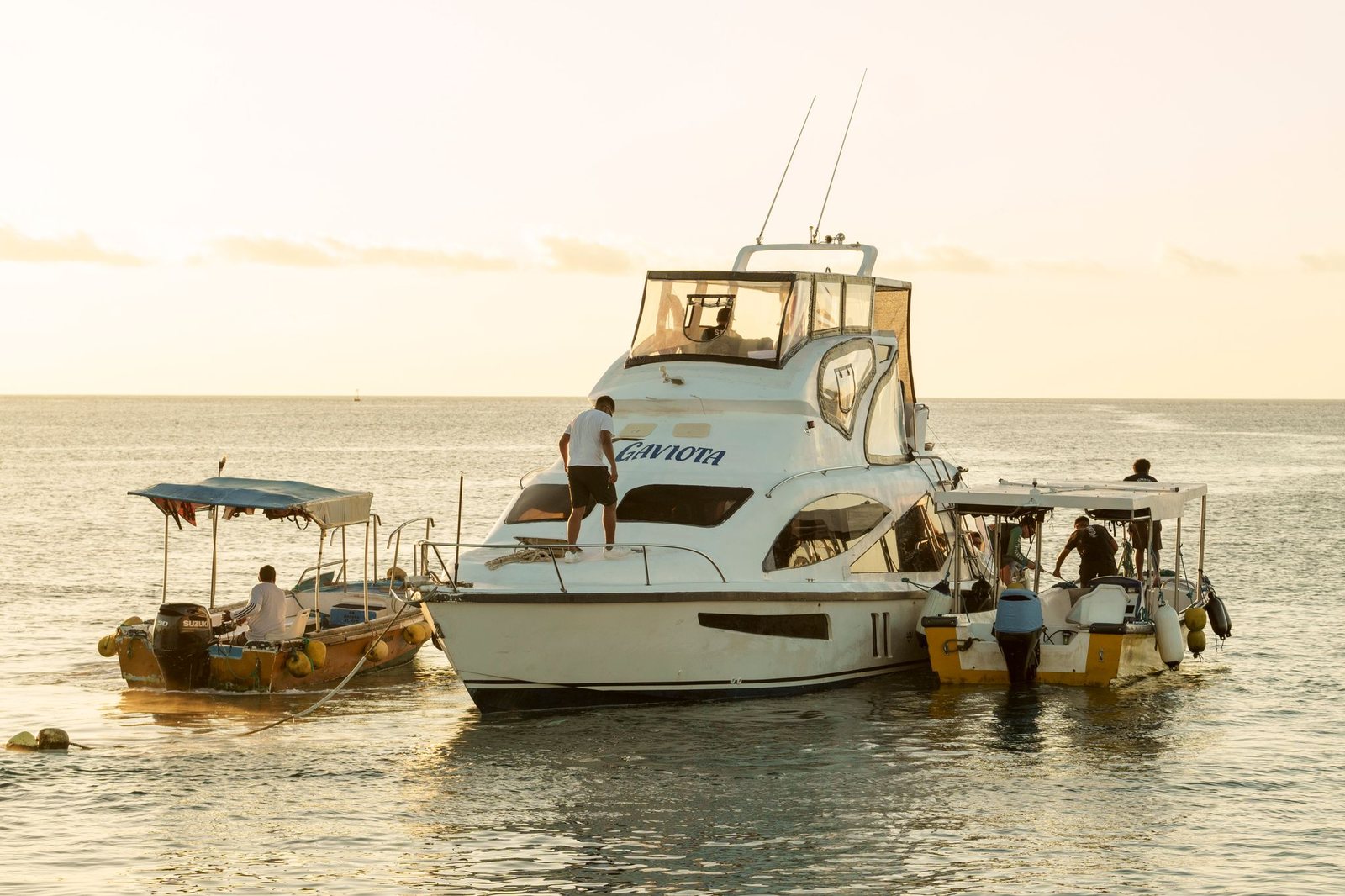
Inter-island transport connects the inhabited islands of Galápagos, enabling residents and visitors to travel to nearby destinations such as Santa Cruz, Isabela, and Floreana. On San Cristóbal, agencies selling tickets are usually located near the dock and the waterfront, making it easy to access this service before boarding. The Galápagos Government Council reports that journeys between inhabited islands take approximately 2 to 3 hours, depending on sea conditions.
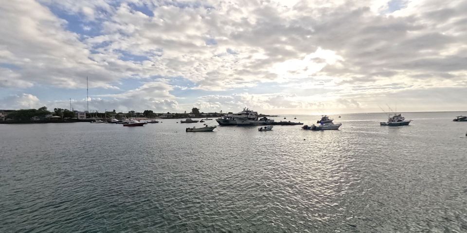
Located 2 minutes from Puerto Baquerizo Moreno, San Cristóbal Airport is the second largest in the Galápagos Islands and features a 1,840-meter-long by 30-meter-wide paved runway.
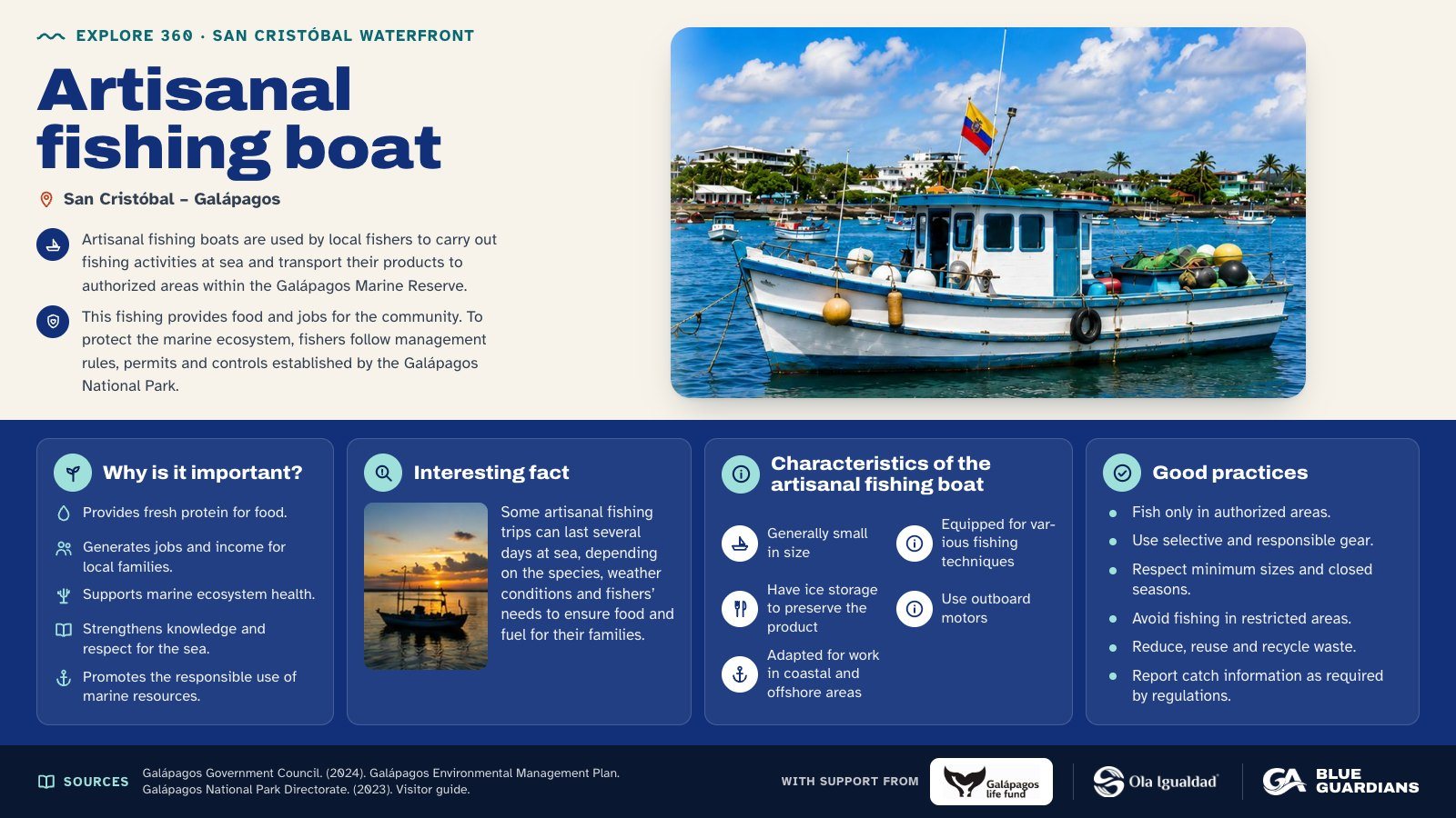
Infographic about Artisanal fishing boat. Artisanal fishing boats are used by local fishers to carry out fishing activities at sea and transport their products to authorized areas within the Galápagos Marine Reserve. Also covers: why is it important, interesting fact, characteristics of the artisanal fishing boat and good practices.
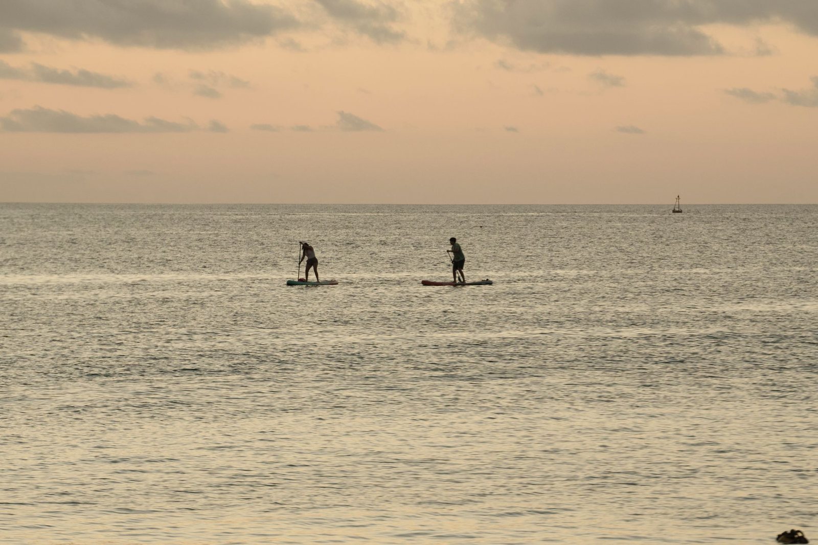
Paddle boarding is a common activity around the port, including docks. During your trip, you can observe a variety of species, especially sea lions.
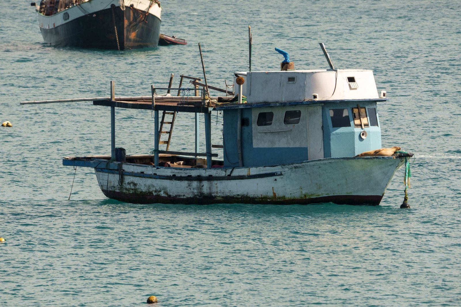
Artisanal fishing boats are vessels used by local fishers for fishing activities at sea and for traveling to authorized zones within the Galápagos Marine Reserve. In some cases, these boats may remain at sea for several days, serving as working, resting, and storage spaces during fishing trips.
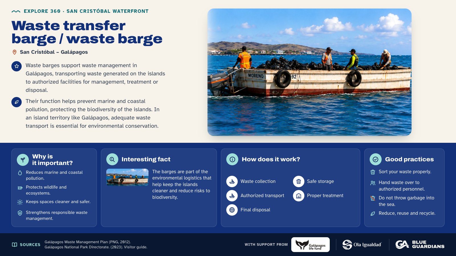
Infographic about Waste transfer barge / waste barge. Waste barges support waste management in Galápagos, transporting waste generated on the islands to authorized facilities for management, treatment or disposal. Also covers: why is it important, interesting fact, how does it work and good practices.
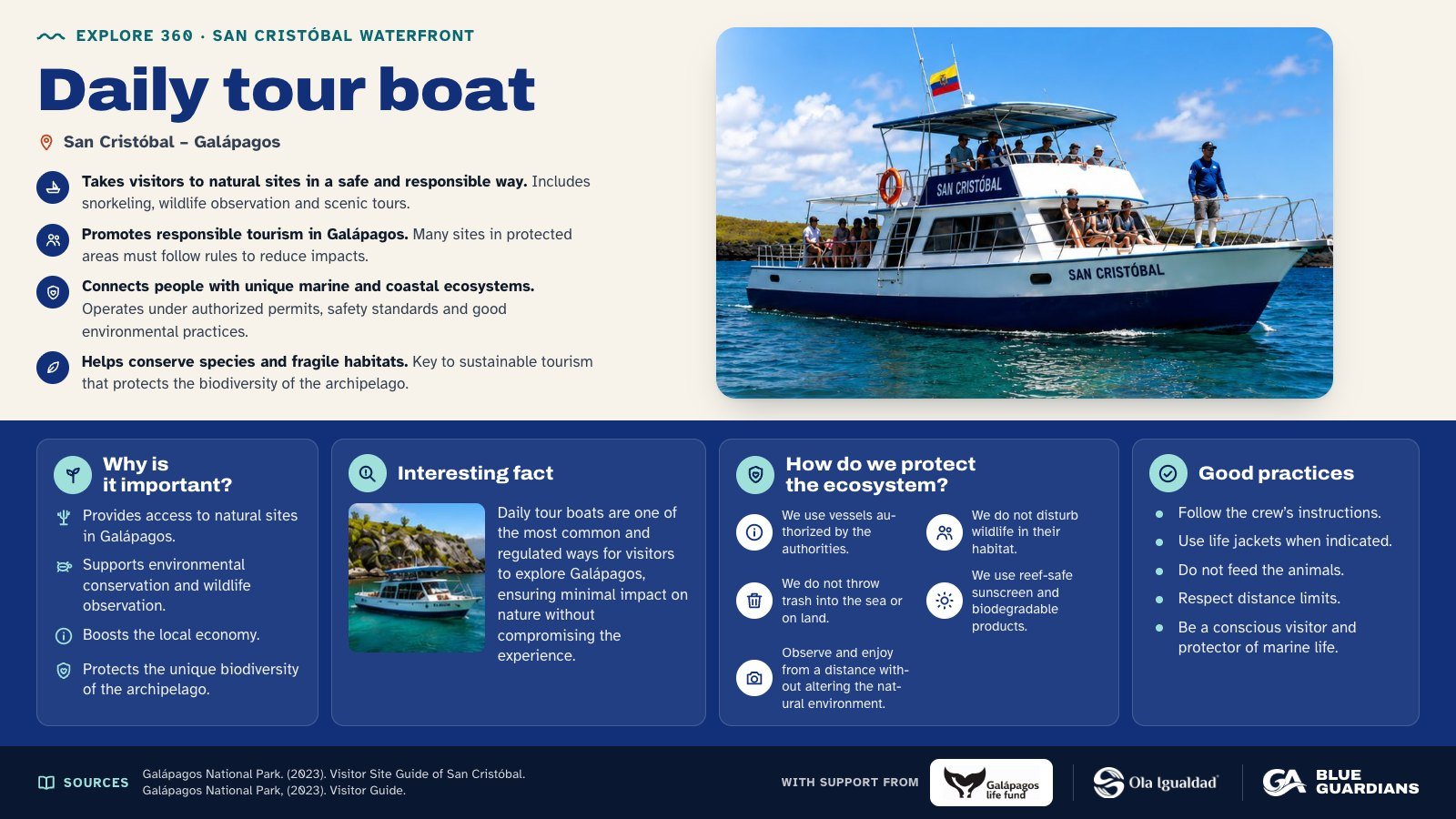
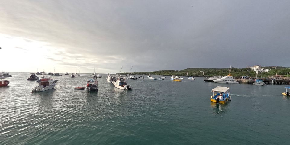
Infographic about Daily tour boat. Takes visitors to natural sites in a safe and responsible way. Also covers: why is it important, interesting fact, how do we protect the ecosystem and good practices.
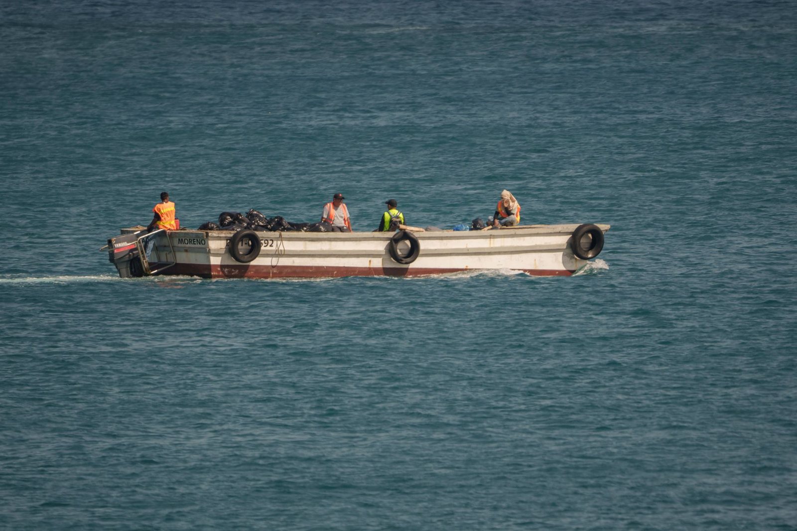
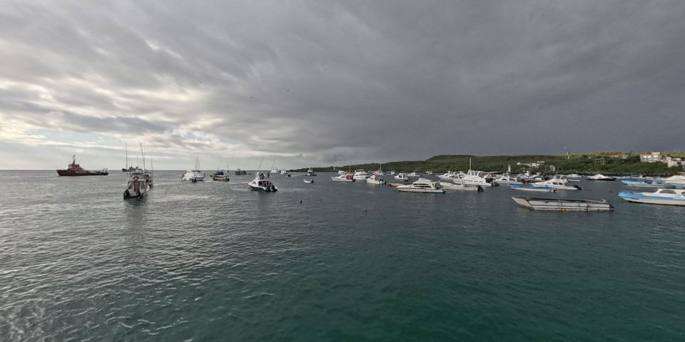
Waste barges play an important role in waste management in Galápagos. These vessels support the transfer of waste generated by larger boats to authorized management, treatment, or disposal areas, preventing refuse from remaining in the marine environment or reaching coastal zones directly.
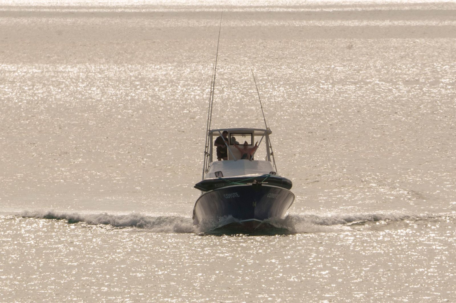
Daily tour boats transport visitors from the inhabited islands to more remote natural sites, where activities such as interpretive walks, snorkeling, wildlife observation, landscape photography, and marine-coastal tours take place. In Galápagos, many visitor sites can only be reached by sea, making these vessels essential for connecting the port with protected natural areas.
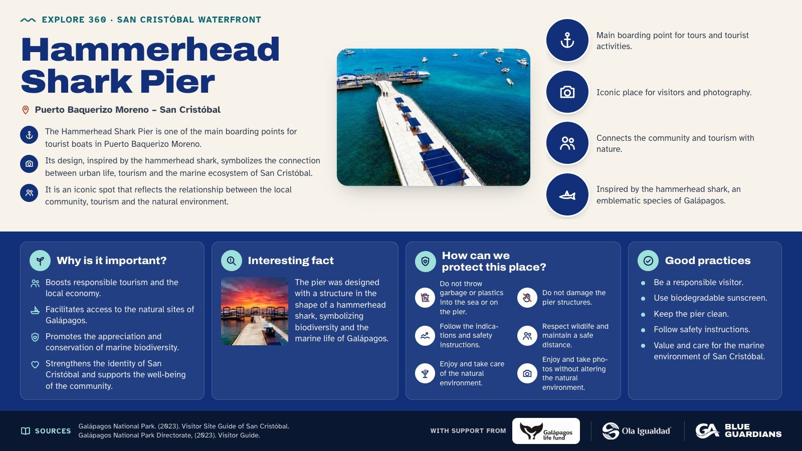
Infographic about Hammerhead Shark Pier. The Hammerhead Shark Pier is one of the main boarding points for tourist boats in Puerto Baquerizo Moreno. Also covers: why is it important, interesting fact, how can we protect this place and good practices.
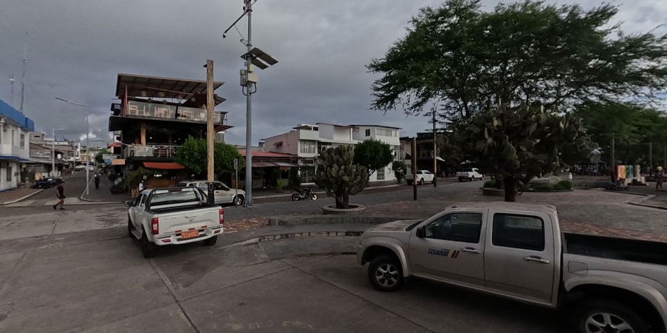
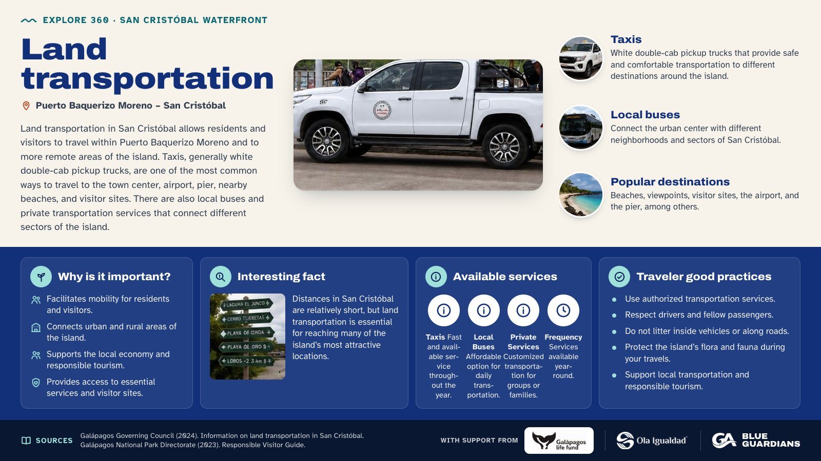
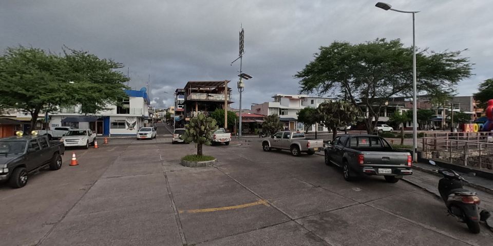
Infographic about Land transportation: taxis, local buses and popular destinations. Also covers: why is it important, interesting fact, available services and traveler good practices.
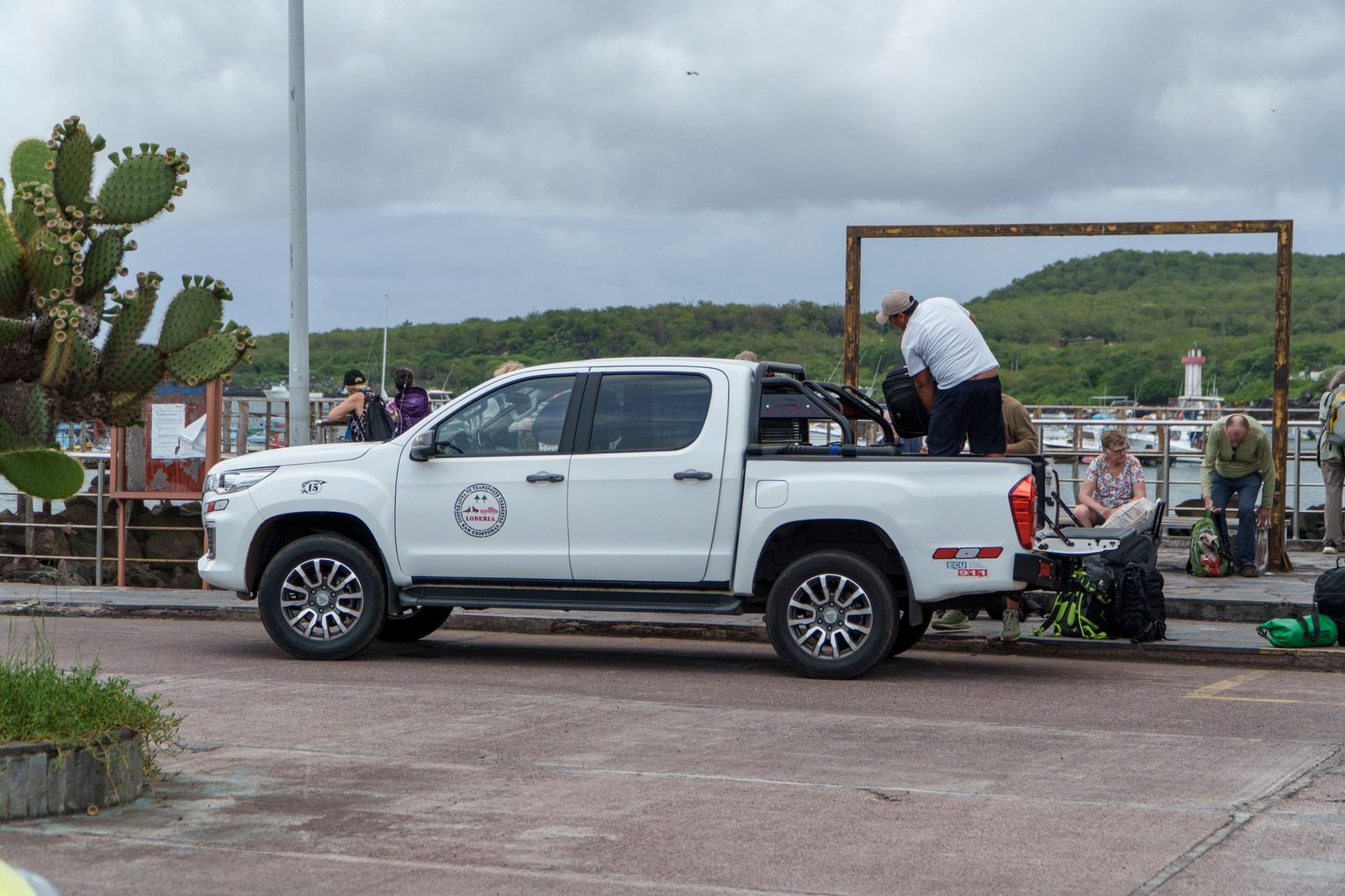
Land transport on San Cristóbal connects residents and visitors within Puerto Baquerizo Moreno and to more remote parts of the island. Taxis — typically white double-cab pickups — are the most common way to travel to the town center, the airport, the dock, nearby beaches, and visitor sites. Local bus services and private transport also connect different areas of the island.
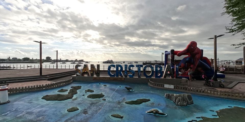
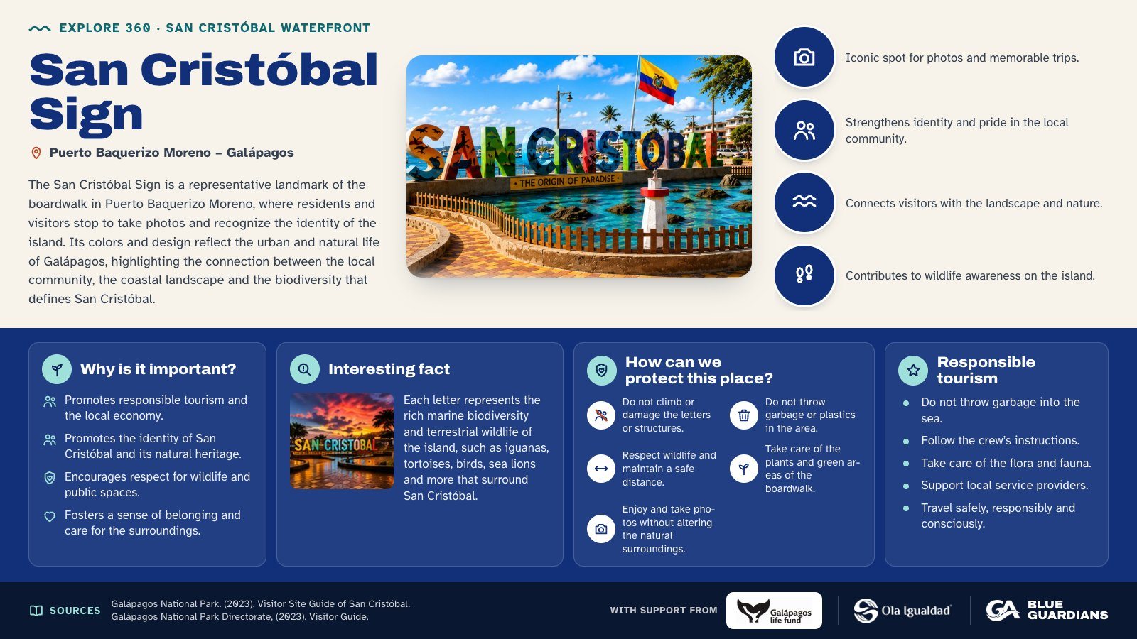
Infographic about San Cristóbal Sign. The San Cristóbal Sign is a representative landmark of the boardwalk in Puerto Baquerizo Moreno, where residents and visitors stop to take photos and recognize the identity of the island. Also covers: why is it important, interesting fact, how can we protect this place and responsible tourism.
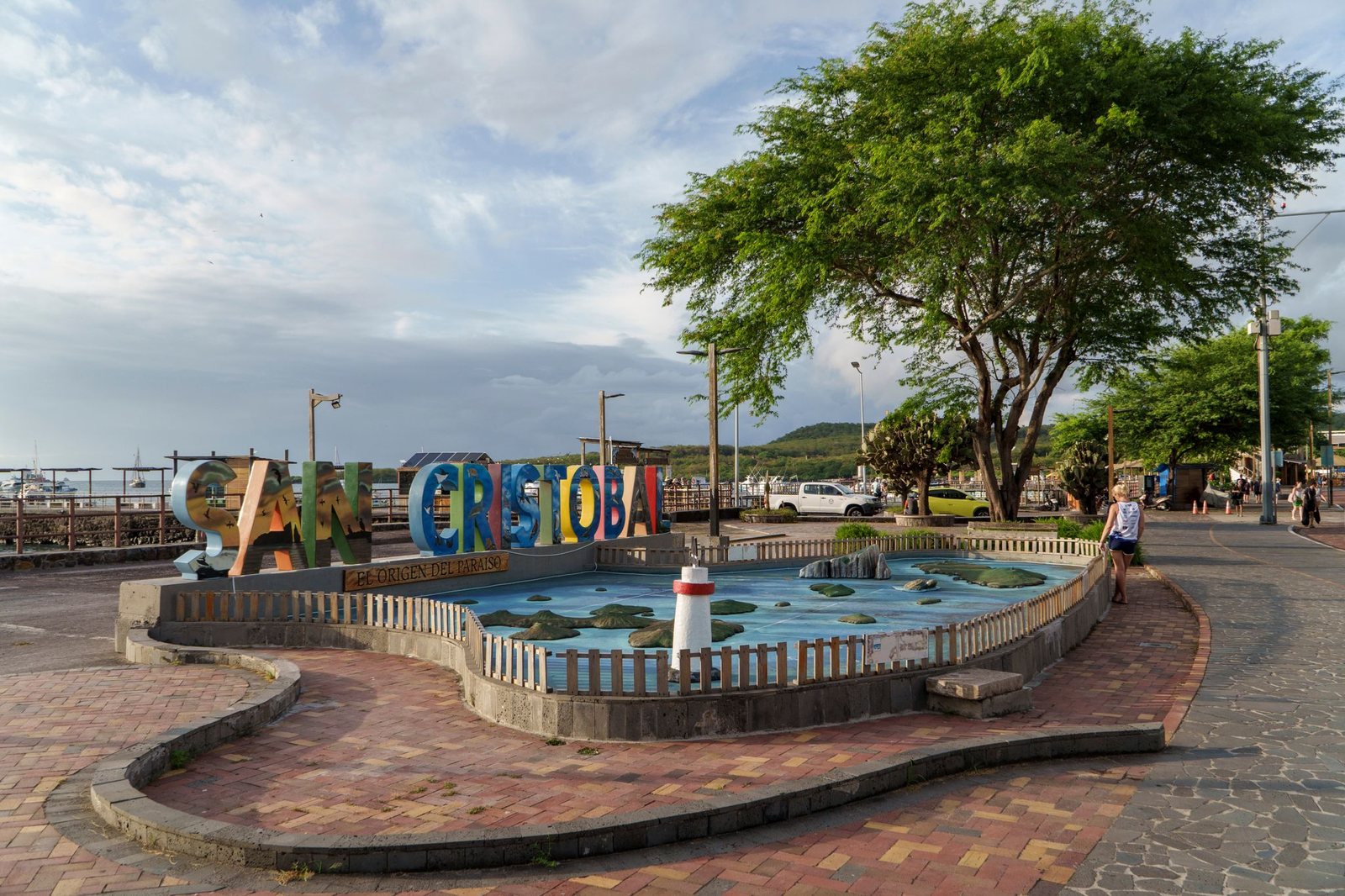
The San Cristóbal Letters are a landmark on the waterfront of Puerto Baquerizo Moreno, where residents and visitors often stop to take photos and celebrate the island's identity. More than a tourist monument, this space reflects the connection between the local community, the coastal landscape, and the biodiversity that defines San Cristóbal.
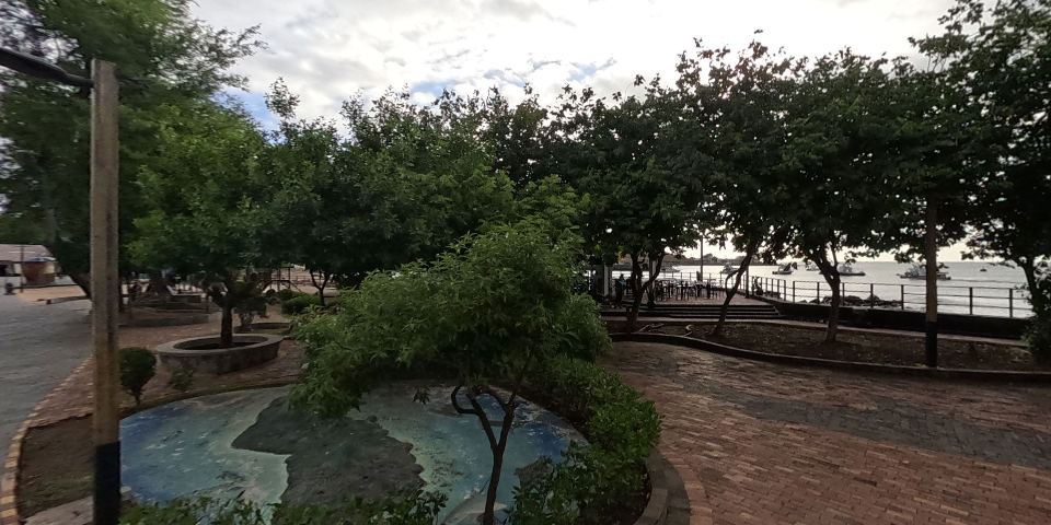
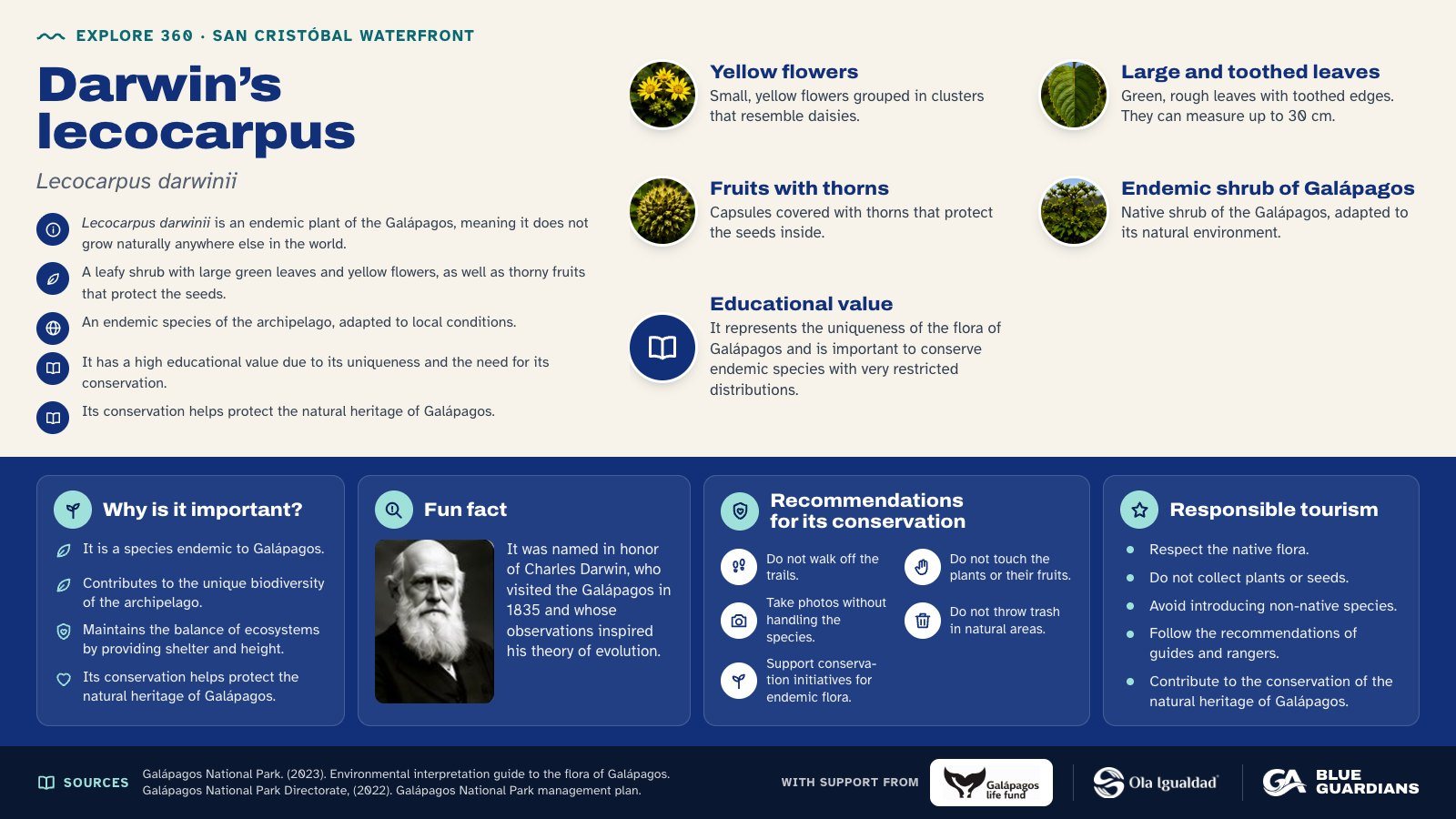
Infographic about Darwin’s lecocarpus (Lecocarpus darwinii): yellow flowers, large and toothed leaves, fruits with thorns, endemic shrub of Galápagos and educational value. Also covers: why is it important, fun fact, recommendations for its conservation and responsible tourism.
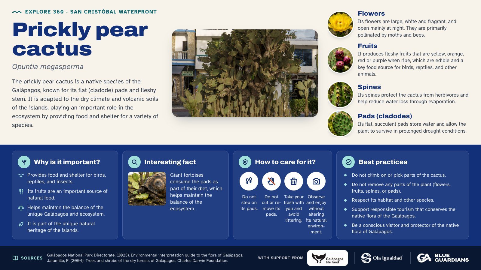
Infographic about Prickly pear cactus (Opuntia megasperma): flowers, fruits, spines and pads (cladodes). Also covers: why is it important, interesting fact, how to care for it and best practices.
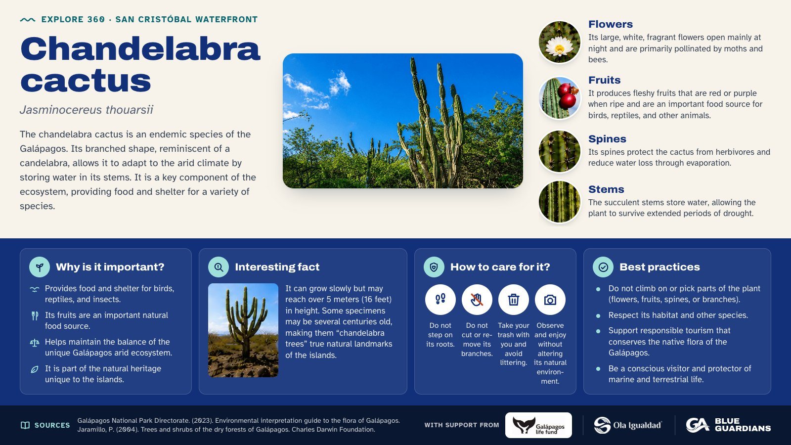
Infographic about Chandelabra cactus (Jasminocereus thouarsii): flowers, fruits, spines and stems. Also covers: why is it important, interesting fact, how to care for it and best practices.
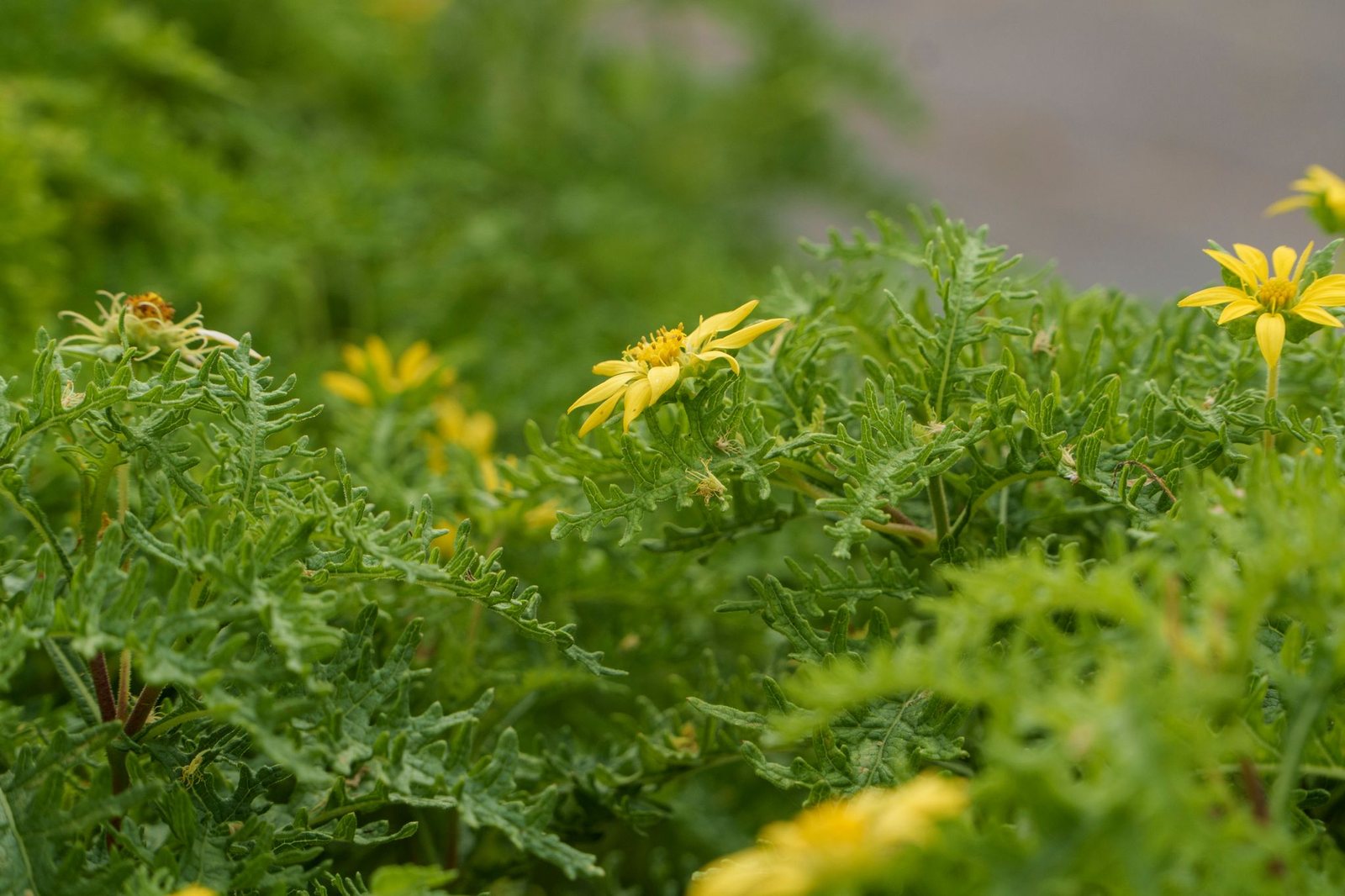
Darwin's lecocarpus ("Lecocarpus darwinii") - is a plant endemic to Galápagos — meaning it does not grow naturally anywhere else in the world. It is a woody shrub with large, green, toothed leaves, yellow daisy-like flowers, and spiny fruits. Its name pays tribute to Charles Darwin, recalling the archipelago's importance in the study of evolution and the adaptation of species.
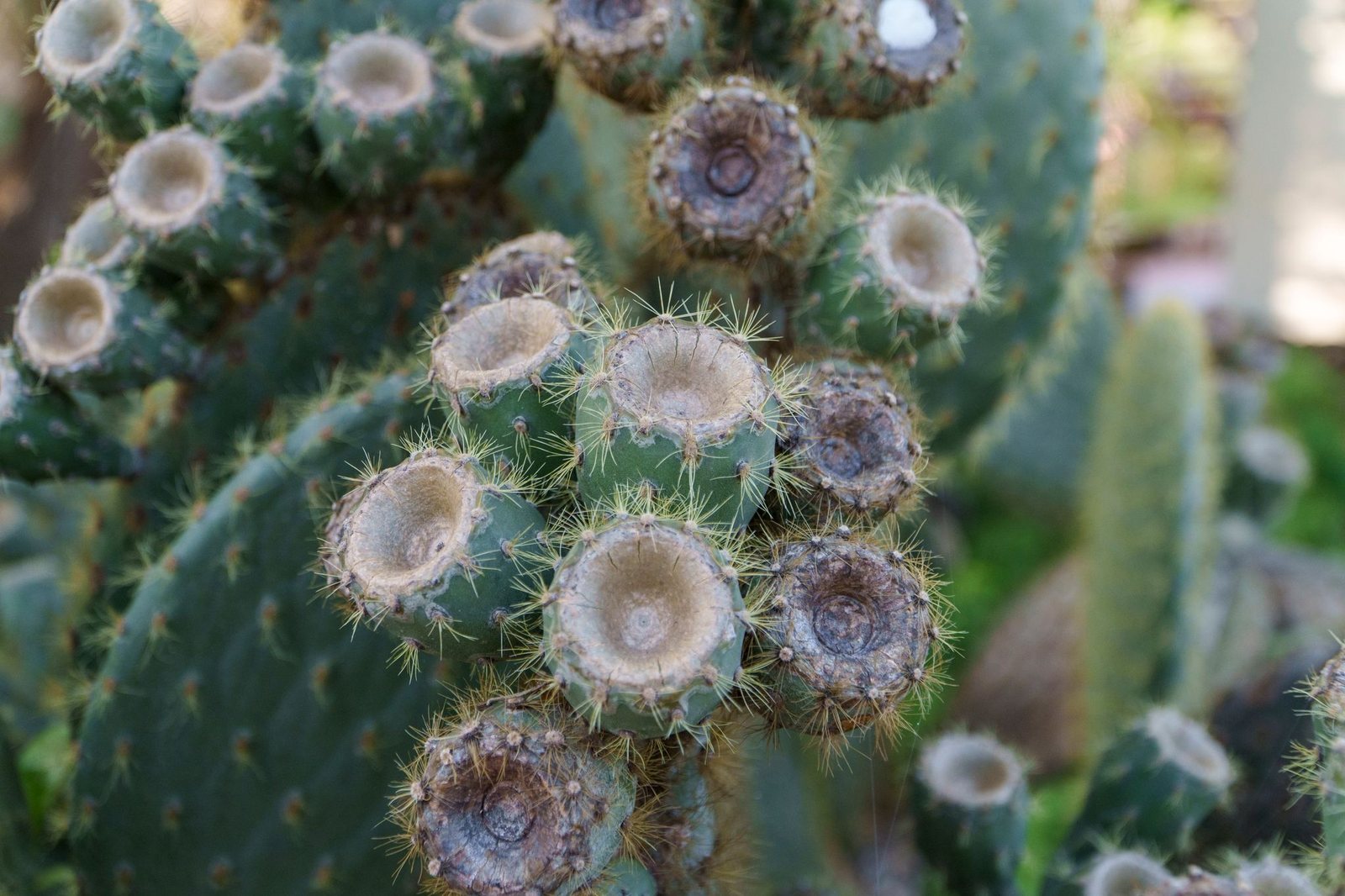
Covered in long spines for defense and glochids — tiny barbed bristles that cause severe irritation on contact — protecting its fruits and flowers.
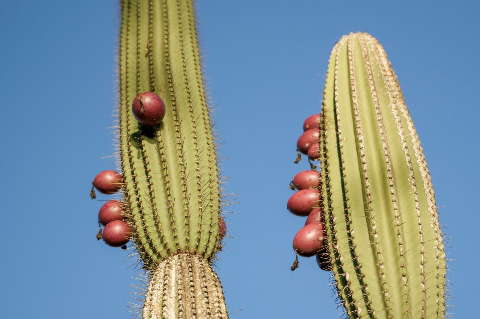
Deep green in color, blending with its branches. As they ripen, the fruits turn a deep purplish-red, making them highly visible to birds.
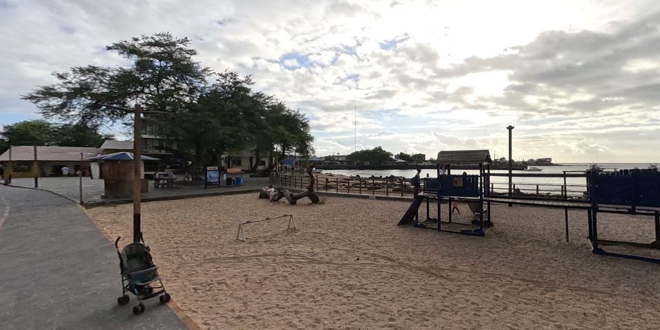
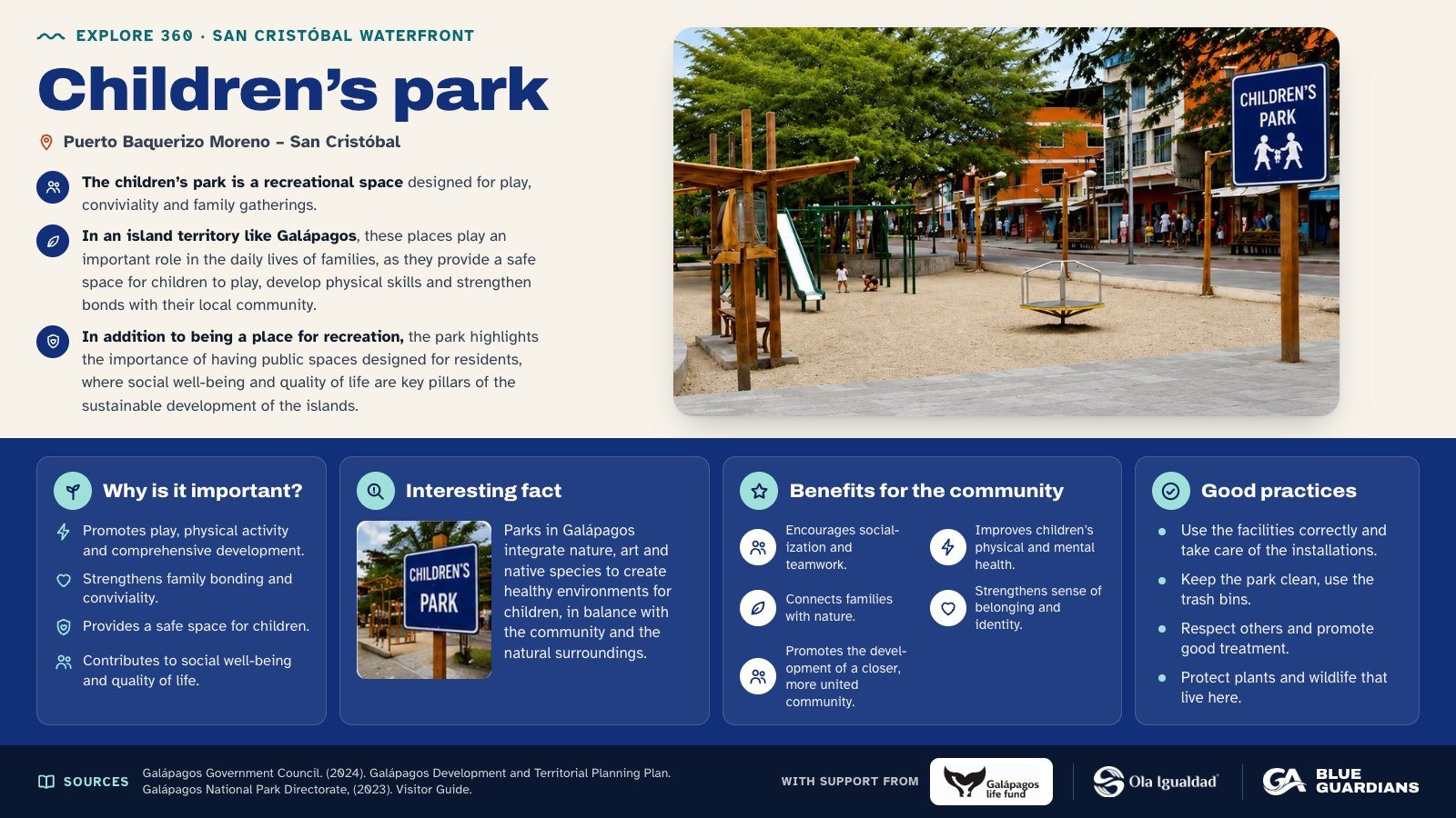
Infographic about Children’s park. The children’s park is a recreational space designed for play, conviviality and family gatherings. Also covers: why is it important, interesting fact, benefits for the community and good practices.
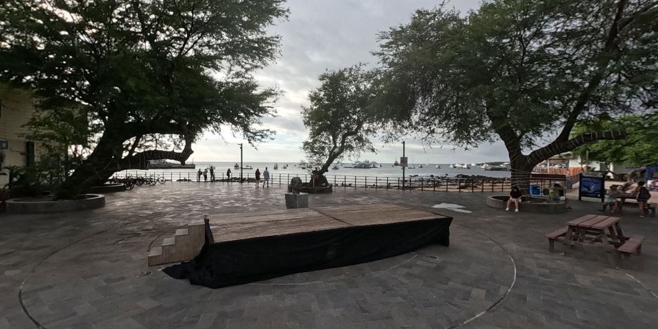
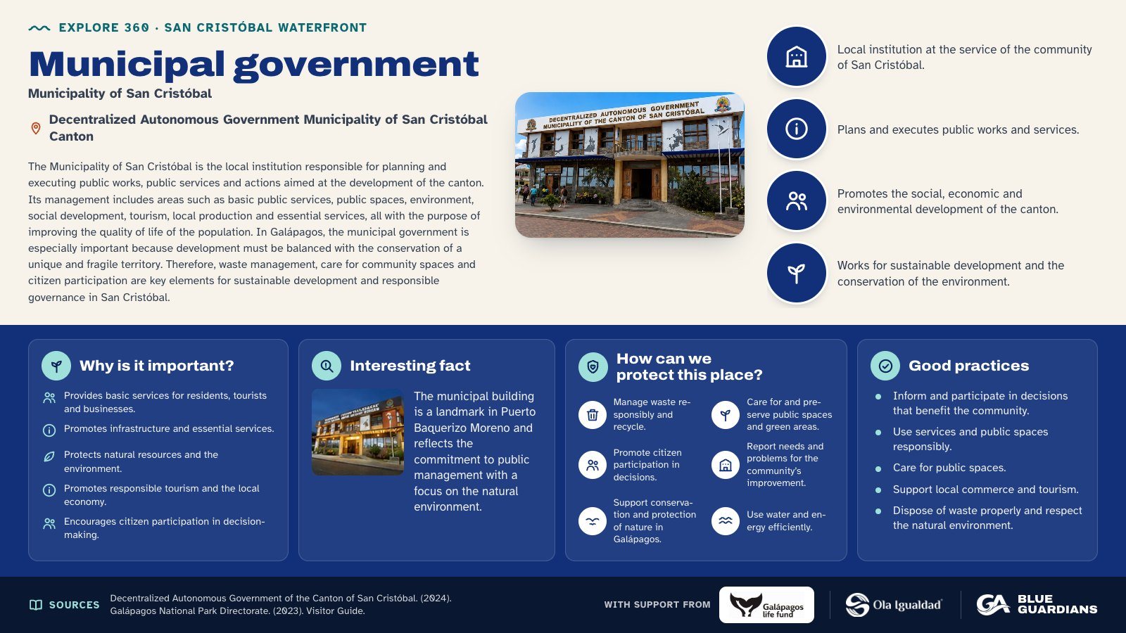
Infographic about Municipal government. The Municipality of San Cristóbal is the local institution responsible for planning and executing public works, public services and actions aimed at the development of the canton. Also covers: why is it important, interesting fact, how can we protect this place and good practices.
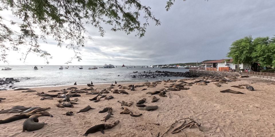
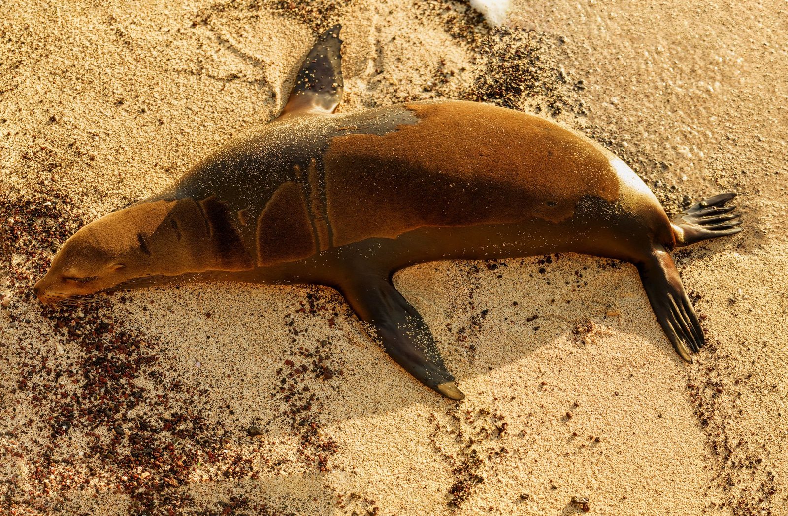
Sea lions on the island are its most sociable and numerous inhabitants, gathering in urban areas and on beaches where they rest and interact with tourists.
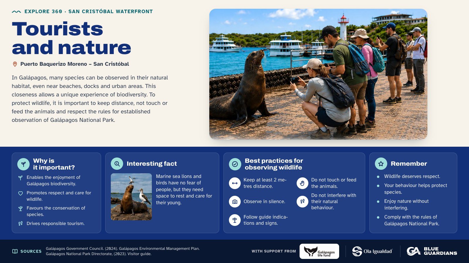
Infographic about Tourists and nature. In Galápagos, many species can be observed in their natural habitat, even near beaches, docks and urban areas. Also covers: why is it important, interesting fact, best practices for observing wildlife and remember.
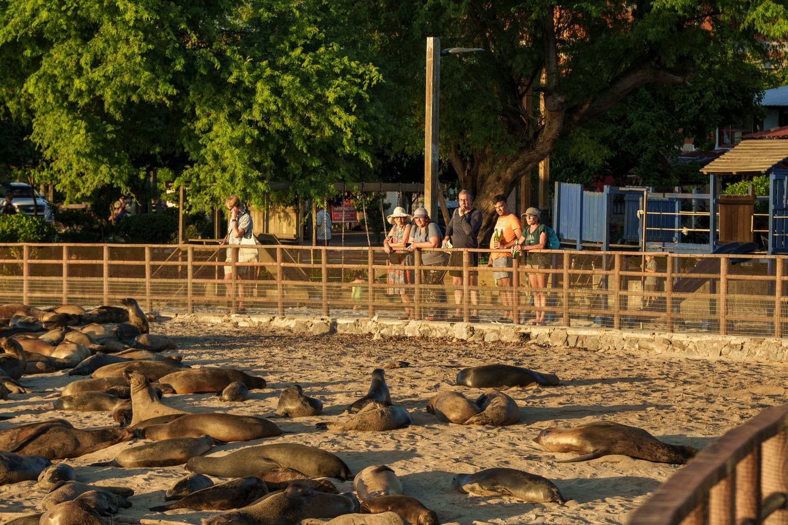
Species can be observed in their natural environment, drawing visitors' attention due to how easily accessible they are.
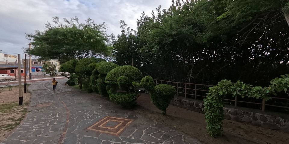
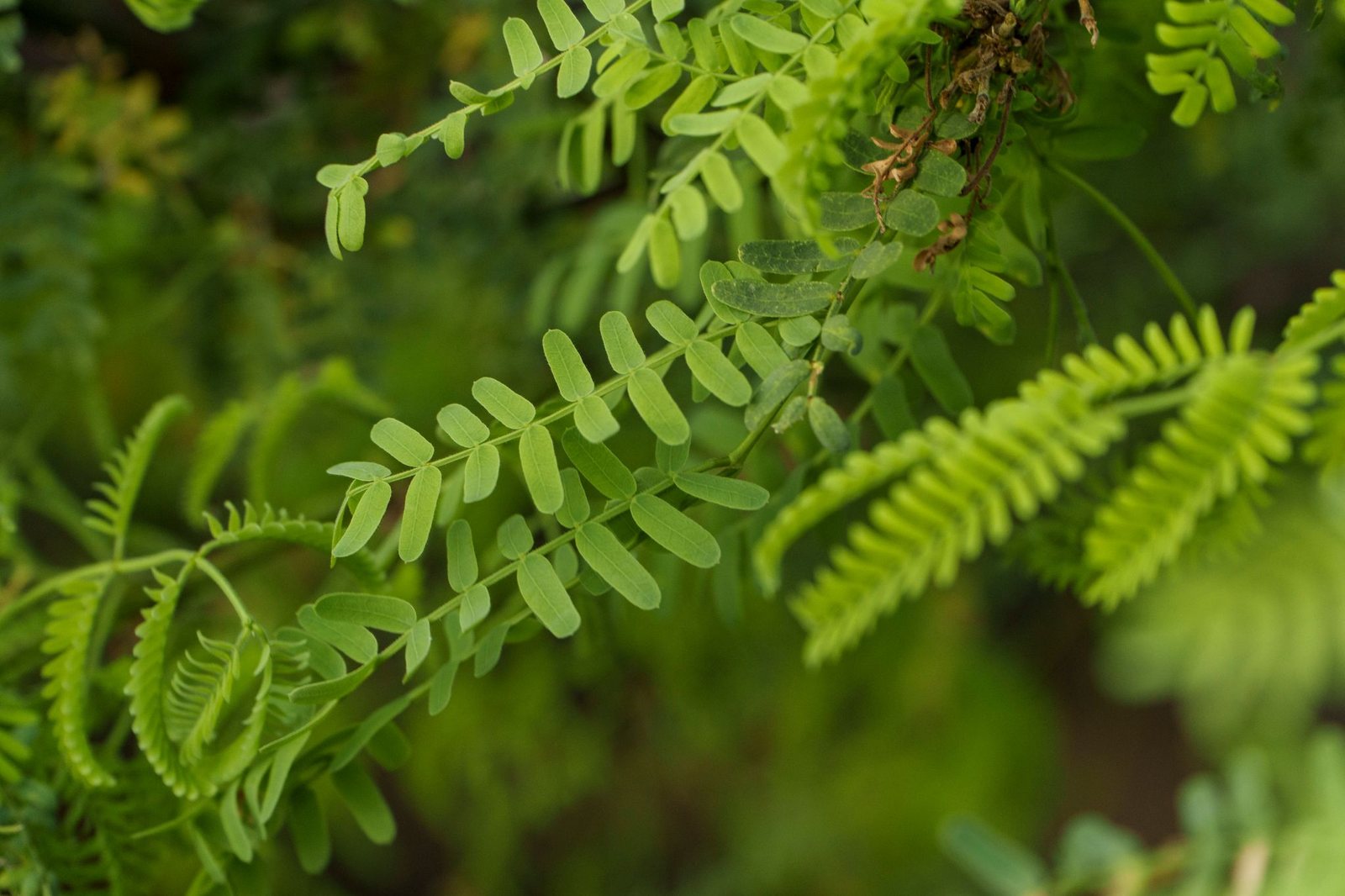
Mesquite tree ("Prosopis juliflora") - A deciduous tree that can reach 16 to 33 feet (5 to 10 meters) in height, with a wide, spreading canopy.
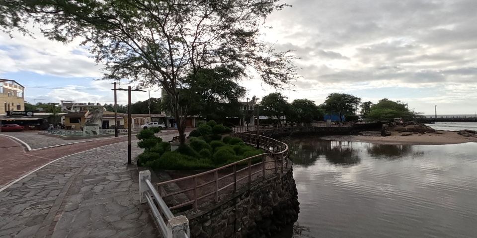
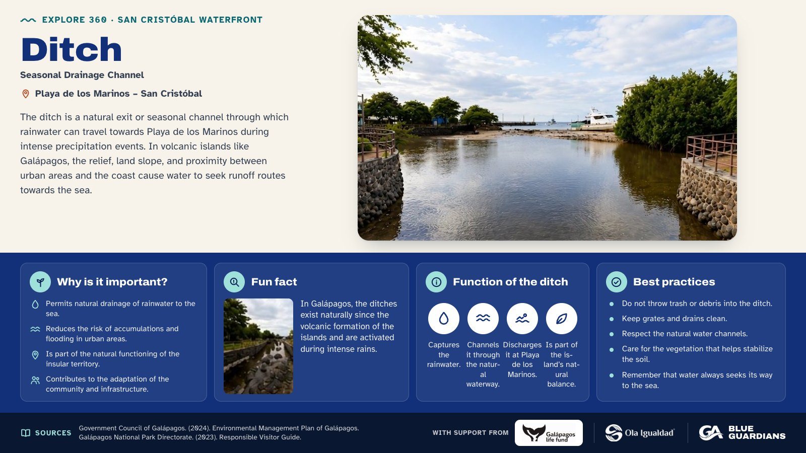
Infographic about Ditch. The ditch is a natural exit or seasonal channel through which rainwater can travel towards Playa de los Marinos during intense precipitation events. Also covers: why is it important, fun fact, function of the ditch and best practices.
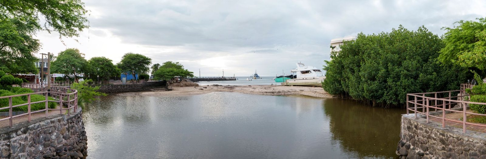
A water accumulation formed by wastewater discharge and runoff from heavy rainfall.
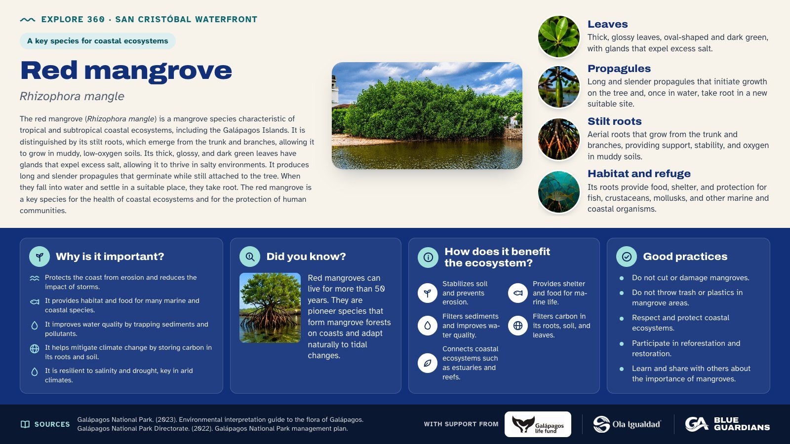
Infographic about Red mangrove (Rhizophora mangle): leaves, propagules, stilt roots and habitat and refuge. Also covers: why is it important, did you know, how does it benefit the ecosystem and good practices.
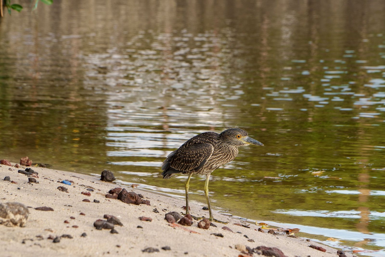
Prefers mangrove areas, rocky coasts, and brackish lagoons. Commonly seen among the prop roots of red mangroves, where it seeks shelter and nests.
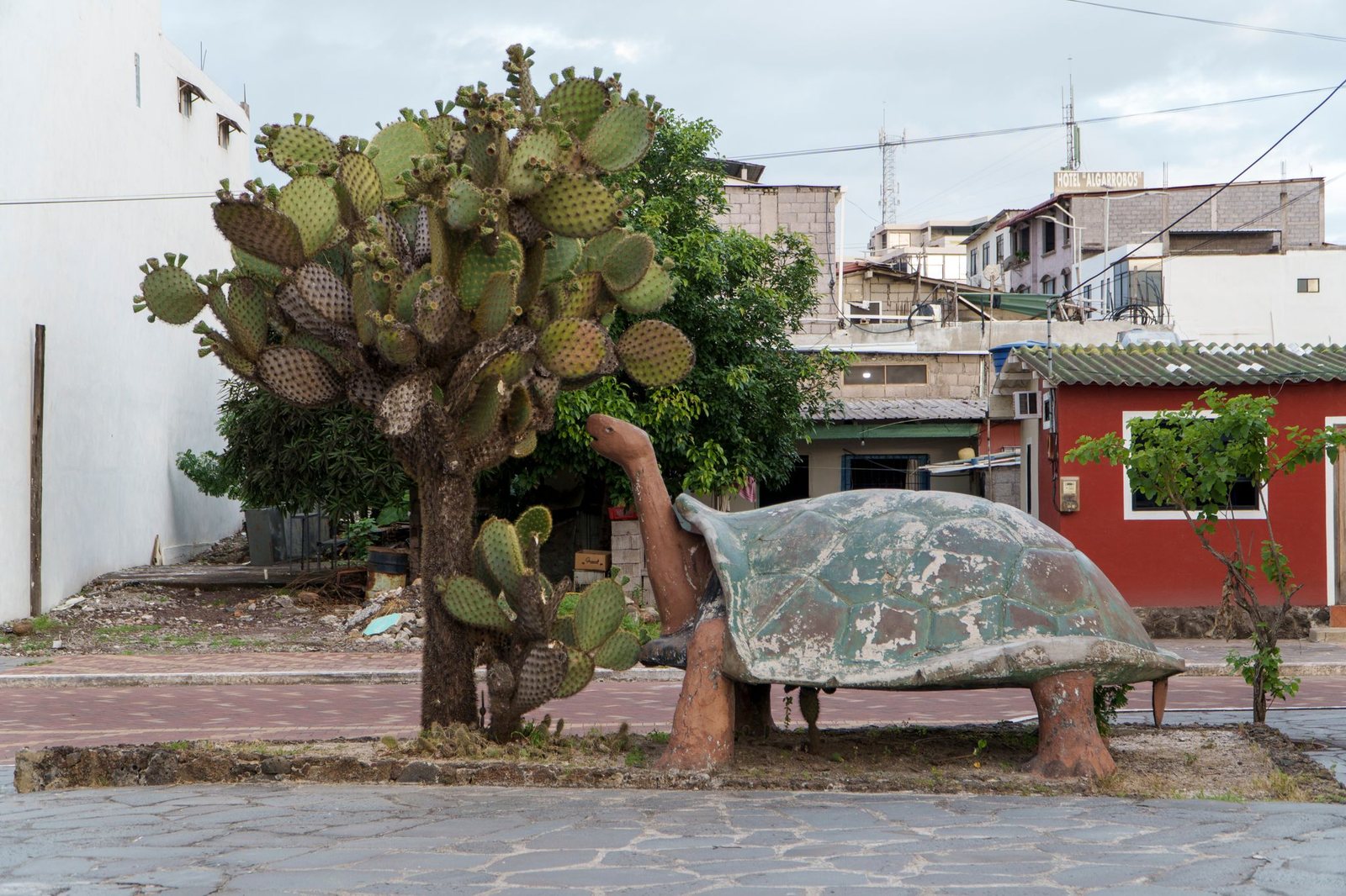
Representation of a land turtle feeding on the prickly pear (fruit of the opuntia) implying its long neck extension to reach its favorite food.
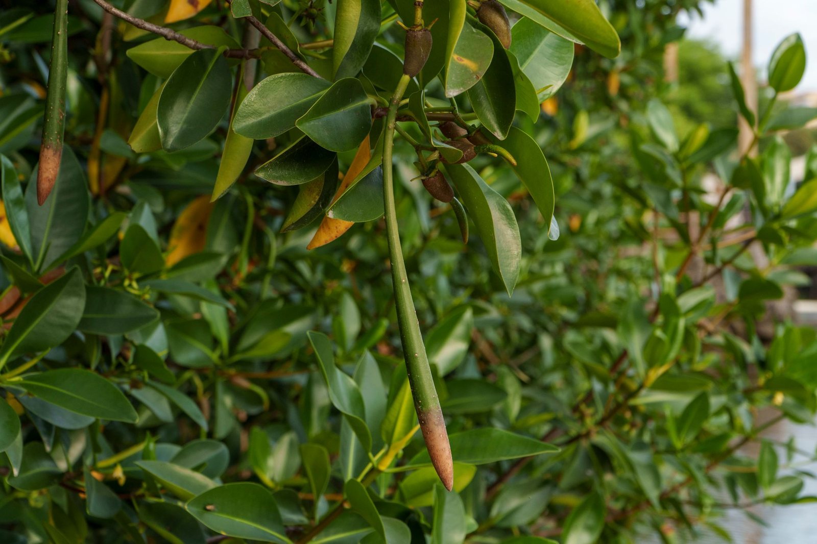
The red mangrove is a biological engineer that has developed unique structures to survive in unstable, saline soils.
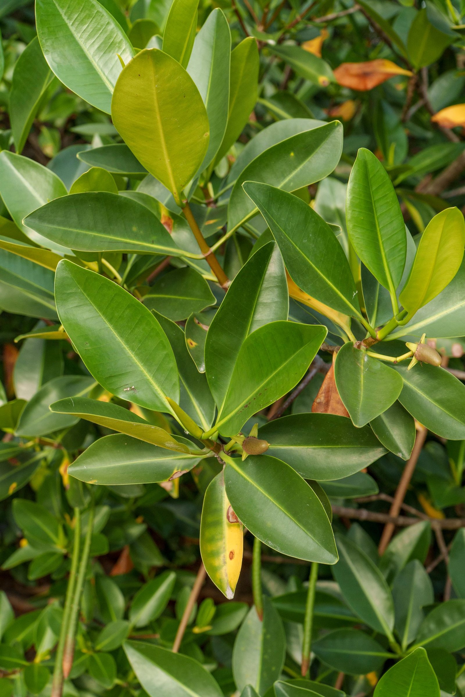
The red mangrove is a biological engineer that has developed unique structures to survive in unstable, saline soils.
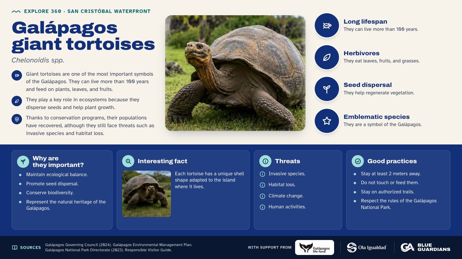
Infographic about Galápagos giant tortoises (Chelonoidis spp.): long lifespan, herbivores, seed dispersal and emblematic species. Also covers: why are they important, interesting fact, threats and good practices.
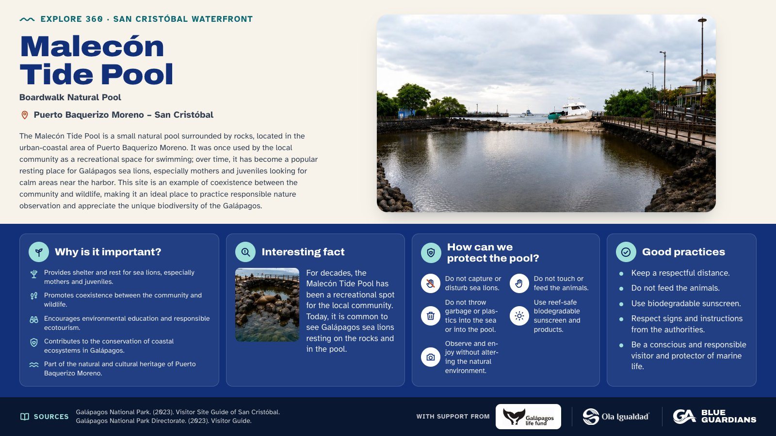
Infographic about Malecón Tide Pool. The Malecón Tide Pool is a small natural pool surrounded by rocks, located in the urban-coastal area of Puerto Baquerizo Moreno. Also covers: why is it important, interesting fact, how can we protect the pool and good practices.
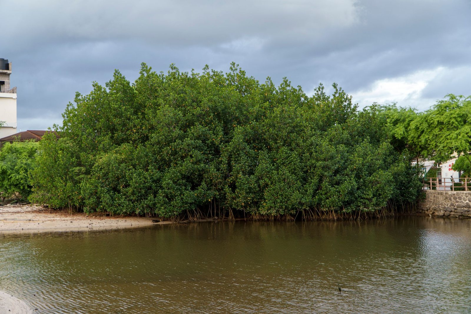
Red Mangrove ("Rhizophora mangle") - The red mangrove is one of the most representative species of Galápagos mangroves. It is considered a "biological engineer" because its aerial roots — known as prop roots — help anchor the plant in muddy, unstable, low-oxygen soils. These roots also trap sediments, reduce erosion, and create natural refuges for juvenile fish, crustaceans, birds, and other coastal organisms.
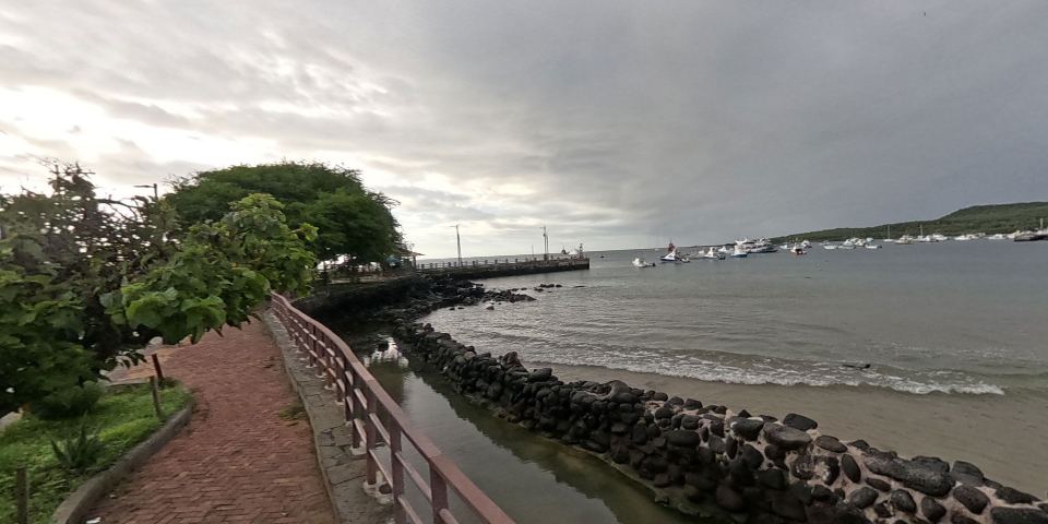
Playa de los Marinos, located in Puerto Baquerizo Moreno, San Cristóbal, is a key wildlife observation point in Galápagos. It is known for hosting a large sea lion colony and is an ideal spot to watch them rest, especially at sunset. It is located near the main dock and forms part of the island's urban coastal landscape.
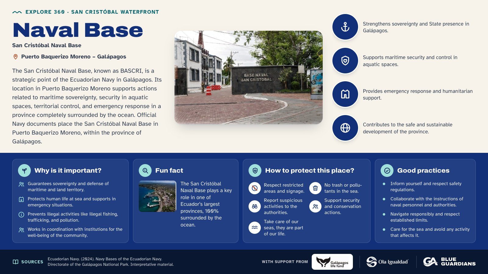
Infographic about Naval Base. The San Cristóbal Naval Base, known as BASCRI, is a strategic point of the Ecuadorian Navy in Galápagos. Also covers: why is it important, fun fact, how to protect this place and good practices.
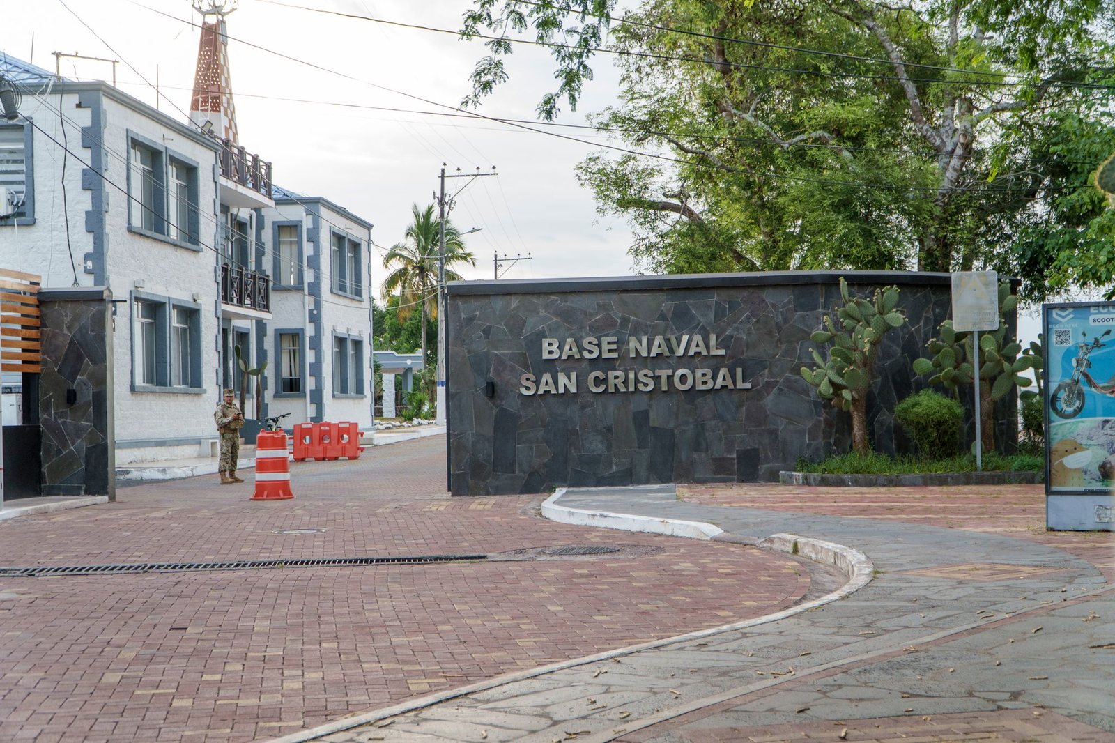
San Cristóbal Naval Base, known as BASCRI, is a strategic point of the Ecuadorian Navy in Galápagos. Its location in Puerto Baquerizo Moreno supports actions related to maritime sovereignty, aquatic space security, territorial control, and emergency response in a province entirely surrounded by the ocean.
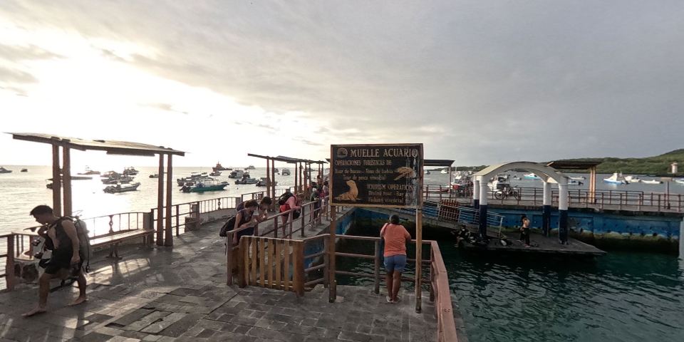
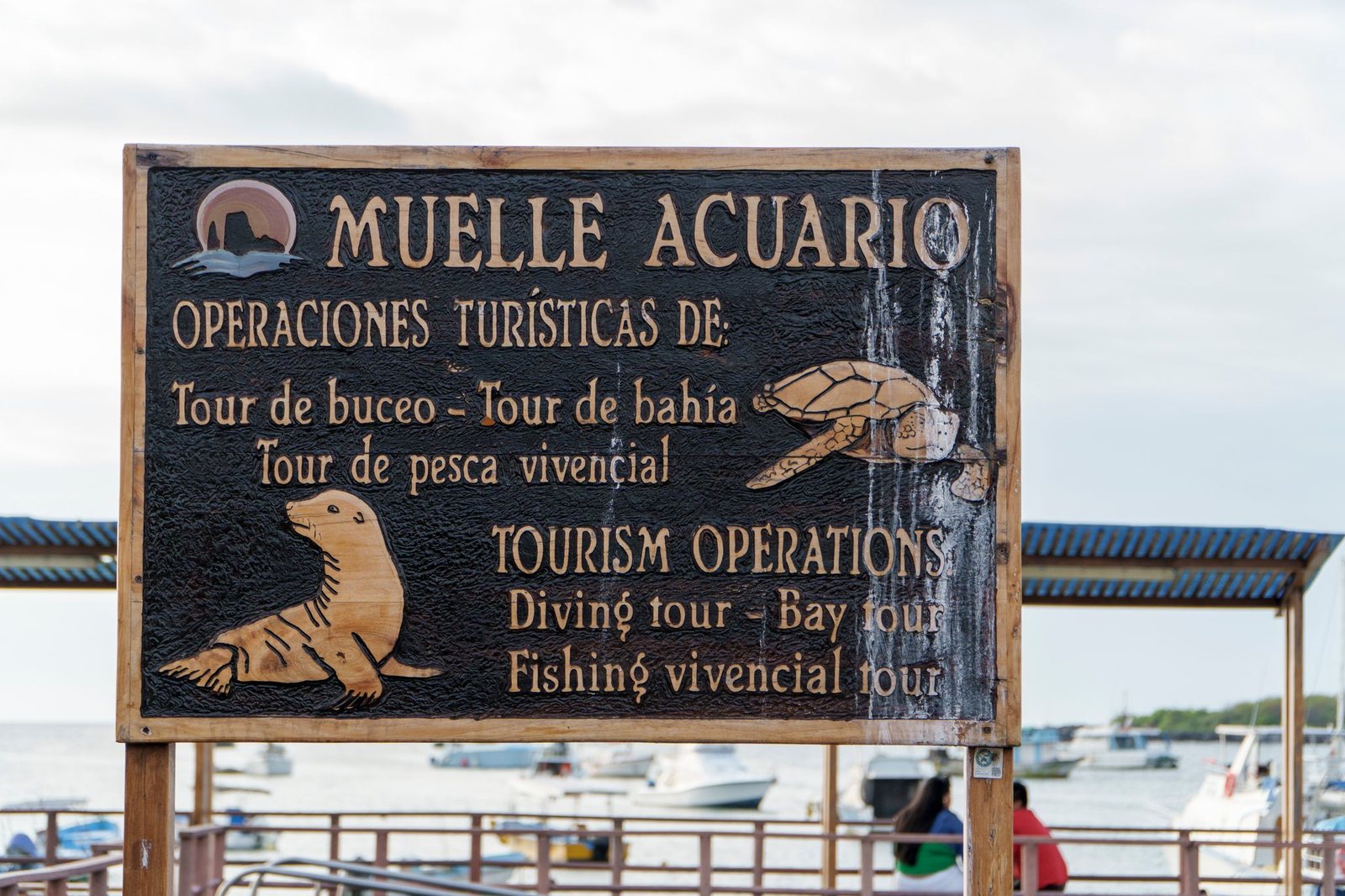
The Aquarium Dock on San Cristóbal Island is a key embarkation point, frequently used by tour operators for daily tours and excursions, and also receives passengers from other islands when the main dock is undergoing maintenance.
A resting spot for tourists waiting for their tours and for members of the local community.
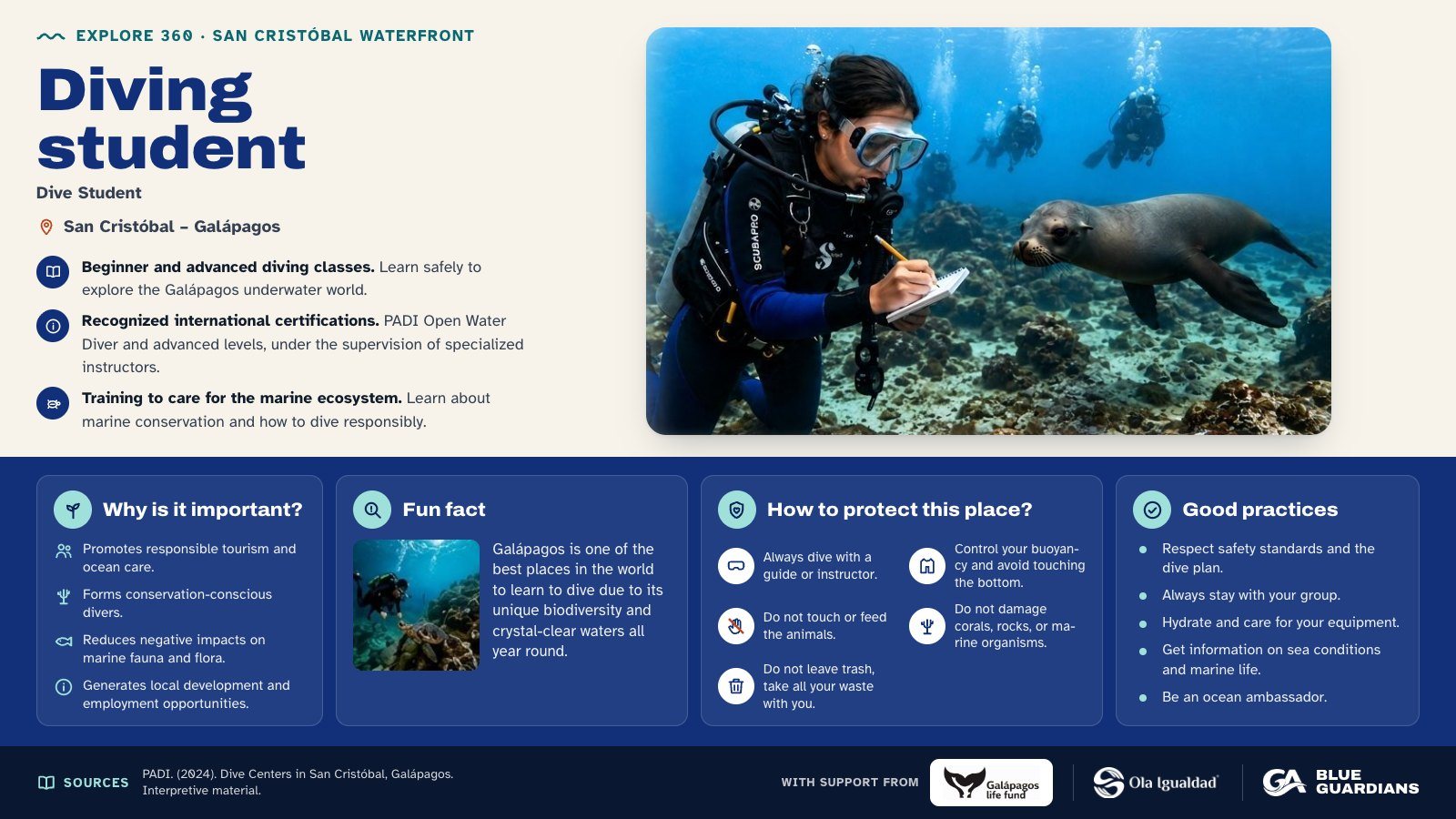
Infographic about Diving student. Beginner and advanced diving classes. Also covers: why is it important, fun fact, how to protect this place and good practices.
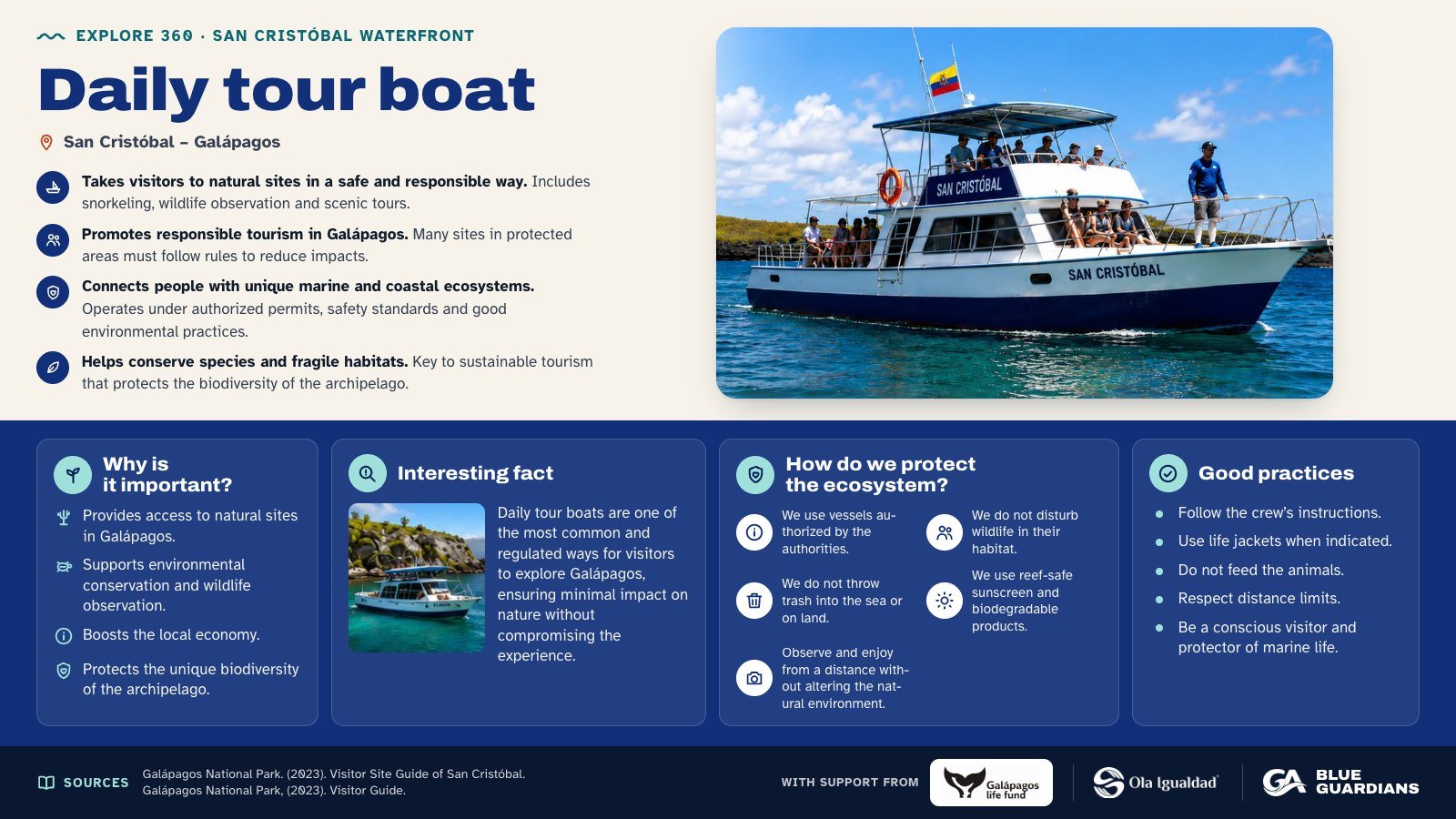
Infographic about Daily tour boat. Takes visitors to natural sites in a safe and responsible way. Also covers: why is it important, interesting fact, how do we protect the ecosystem and good practices.
Boats used to transport tourists to designated diving sites.
Daily tour boats transport visitors from the inhabited islands to more remote natural sites, where activities such as interpretive walks, snorkeling, wildlife observation, landscape photography, and marine-coastal tours take place. In Galápagos, many visitor sites can only be reached by sea, making these vessels essential for connecting the port with protected natural areas.
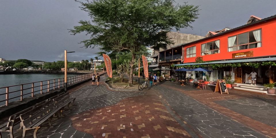
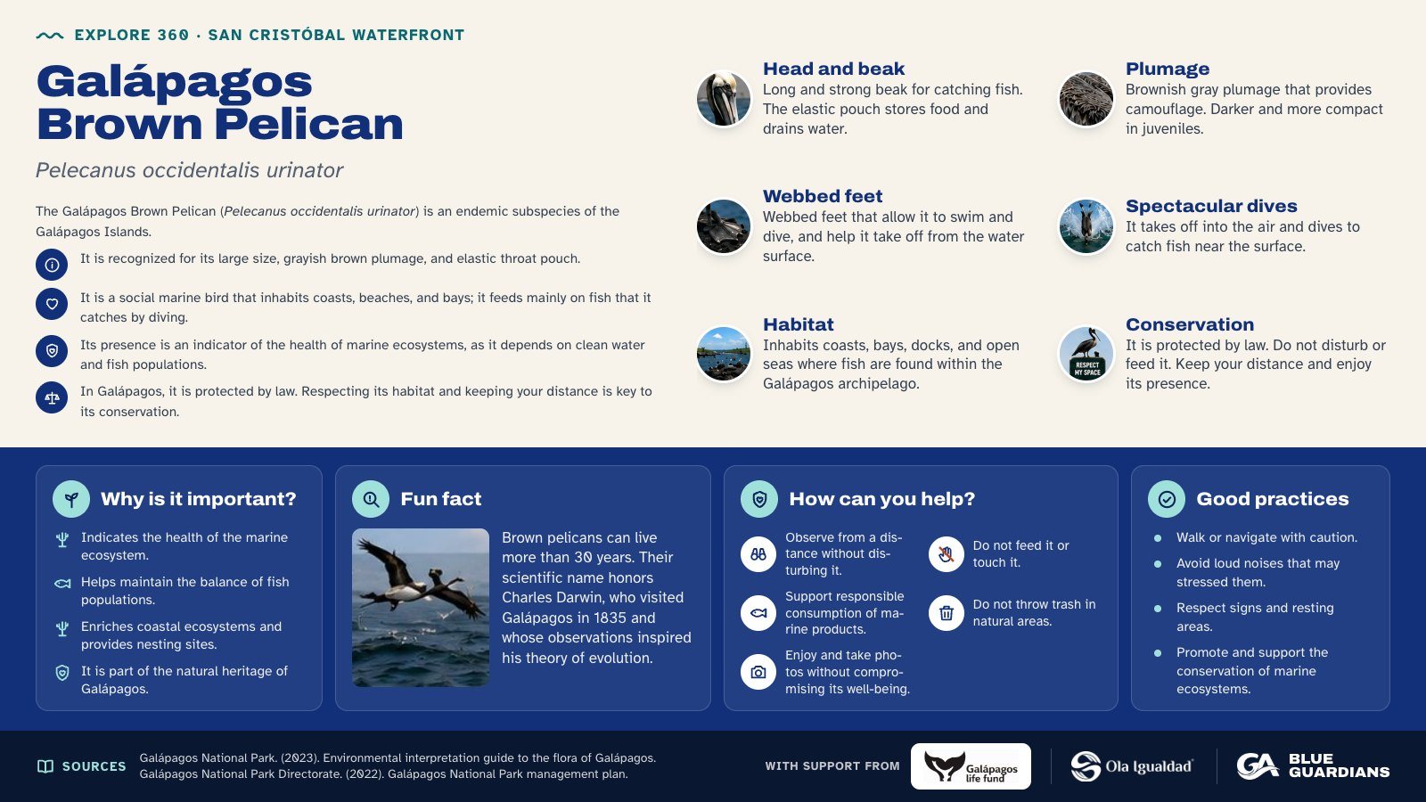
Infographic about Galápagos Brown Pelican (Pelecanus occidentalis urinator): head and beak, plumage, webbed feet, spectacular dives, habitat and conservation. Also covers: why is it important, fun fact, how can you help and good practices.
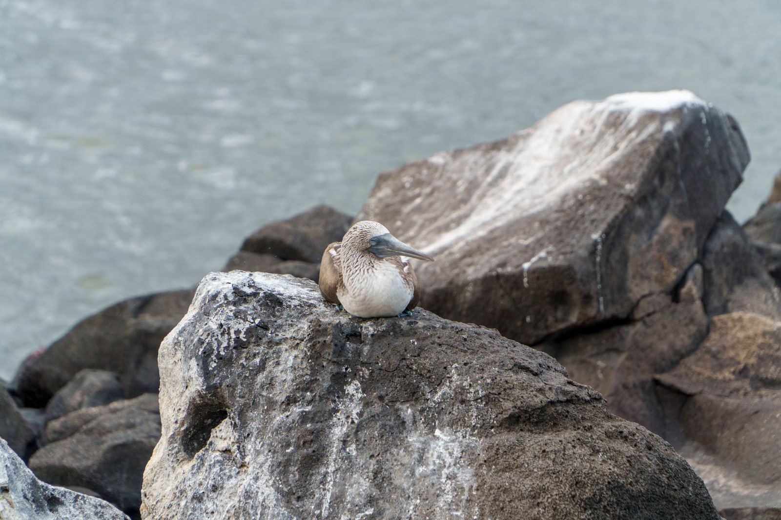
Blue-footed Boobies can often be found resting on the rocks near the dock, just a few meters from human observers.
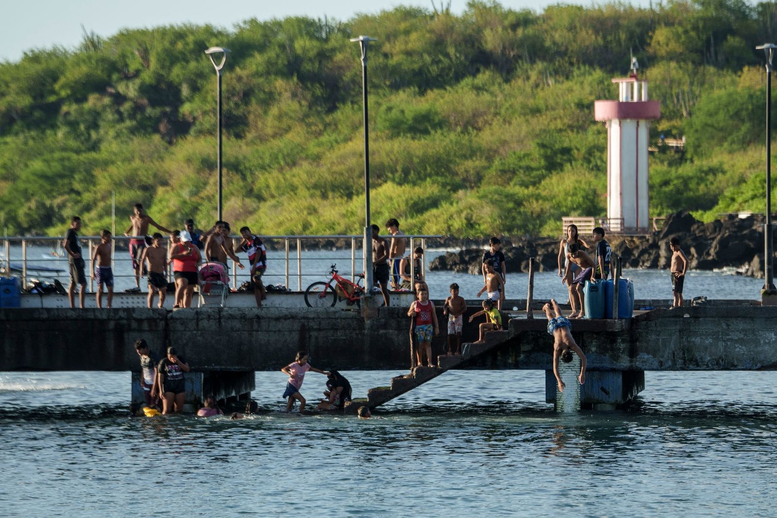
The main fishermen's dock on San Cristóbal, known as the "Jesús de los Mares" dock, is the site of artisanal boat loading and unloading activities.
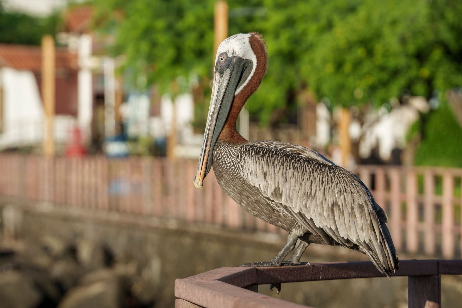
Galapagos Brown Pelican ("Pelecanus occidentalis urinator") is a resident subspecies of the archipelago, easily observed at docks, bays, beaches, and fishing areas. Its presence near ports makes it one of the most charismatic seabirds for residents and visitors, but also a good example of how coastal species depend on the balance between the ocean, fish availability, and human activities.
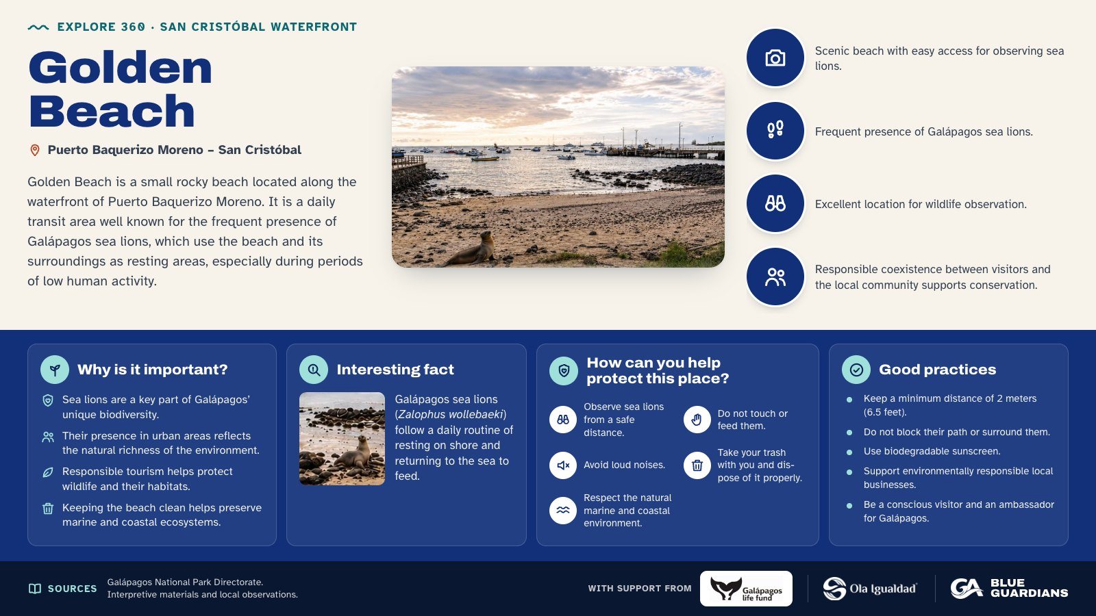
Infographic about Golden Beach. Golden Beach is a small rocky beach located along the waterfront of Puerto Baquerizo Moreno. Also covers: why is it important, interesting fact, how can you help protect this place and good practices.
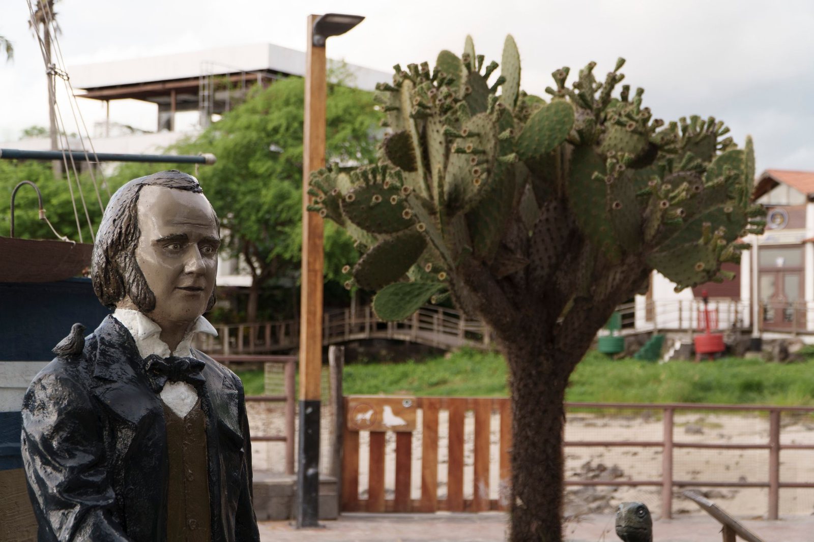
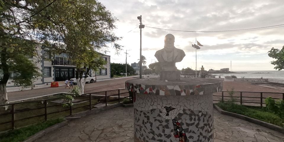
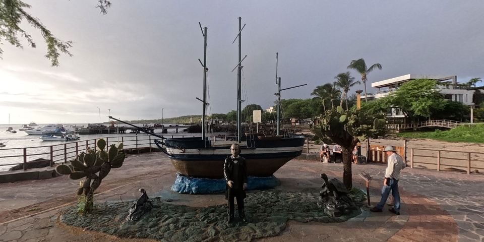
A commemorative statue of Charles Darwin, who revolutionized science by demonstrating that species are not immutable but evolve over time through natural selection.
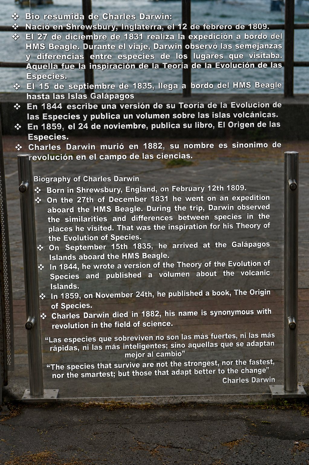
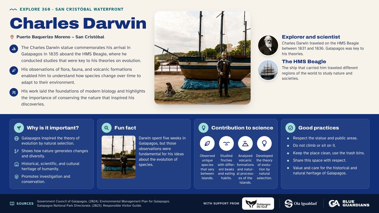
Infographic about Charles Darwin: explorer and scientist and the HMS Beagle. Also covers: why is it important, fun fact, contribution to science and good practices.
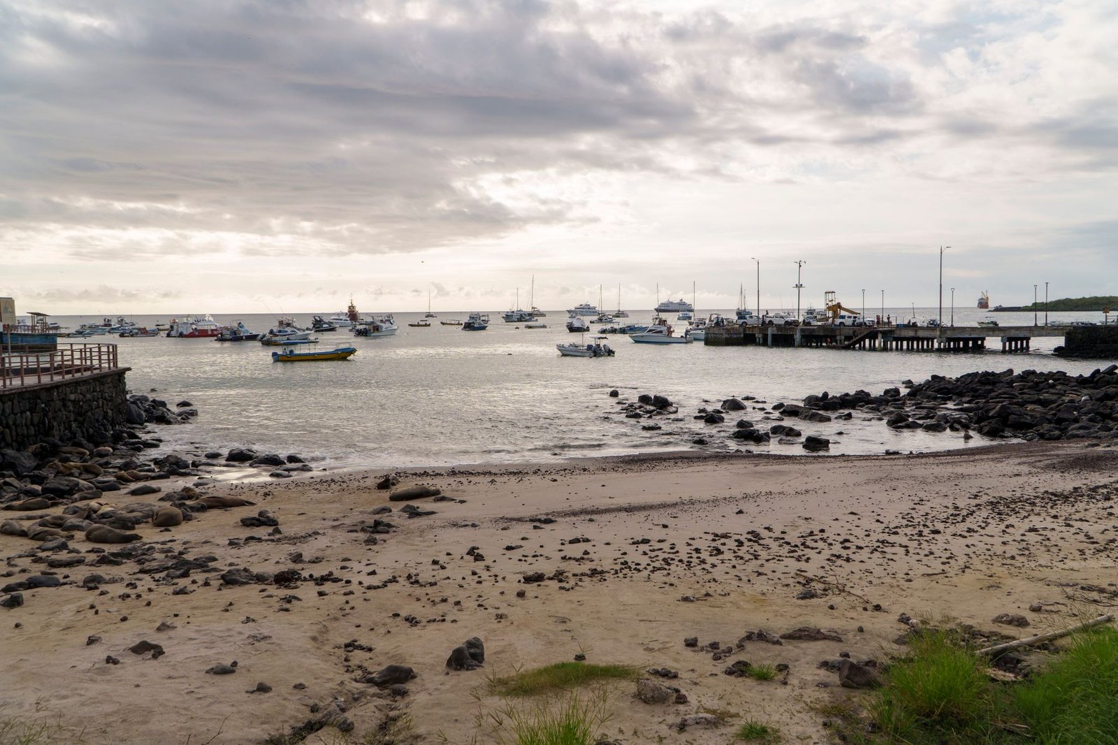
Playa de Oro is a small rocky beach located along the waterfront of Puerto Baquerizo Moreno, close to restaurants, hotels, and everyday transit areas. It is known for the frequent presence of Galápagos sea lions (Zalophus wollebaeki), which use the beach and its surroundings as a resting area, particularly during quieter hours. It is described locally as a central, easily accessible spot for observing sea lions on San Cristóbal.